


Diese Tour führt zu einigen der interessantesten Punkte in der Wachau.
Nach dem Start geht es von Krems an der linken Donauseite hoch bis Melk mit folgenden Stationen:
Förthof
Dürnstein www.duernstein.at
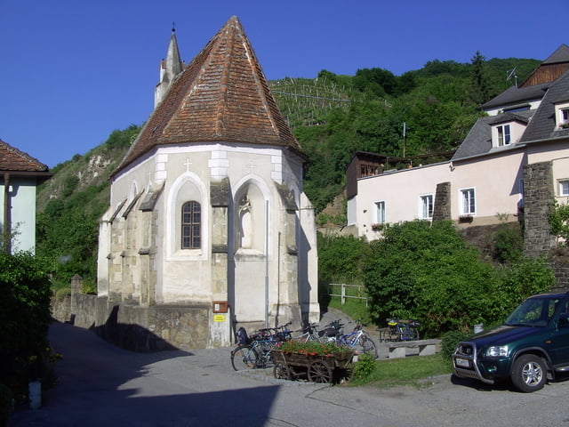
Weißenkirchen in der Wachau www.weissenkirchen.at
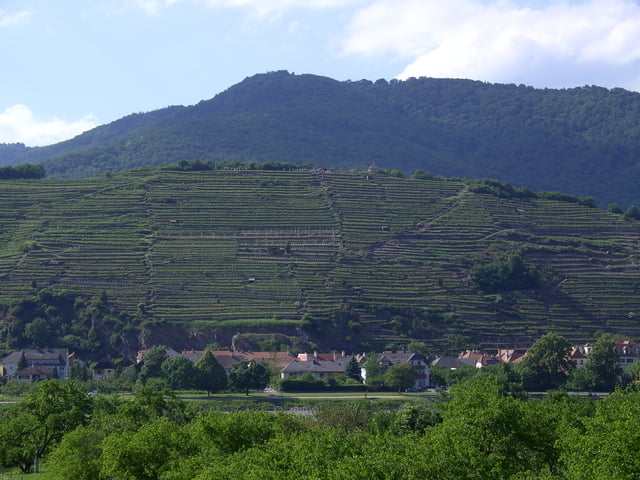
Spitz an der Donau www.spitz-wachau.at
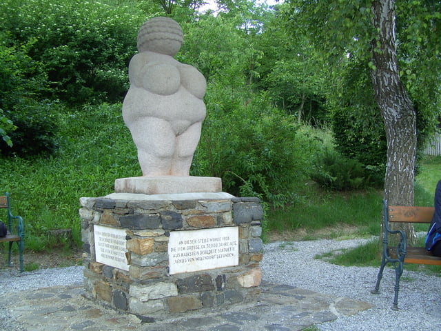
Willendorf in der Wachau Willendorf.info
Stift Melk www.stiftmelk.at
zurück geht es am rechten Donauufer, hier ist der neu gestaltete Radweg bemerkenswert.
Servitenkloster in Schönbühel - siehe Eintrag in Wikipedia
Neuburgerdenkmal in Oberansdorf www.rossatz-arnsdorf.at
Römische Stadtmauer in Mautern www.mautern.at
Further information at
http://www.wachau.at/donau/wnGaleria trasy
Mapa trasy i profil wysokości
Minimum height 147 m
Maximum height 276 m
More about the tour author

|
efelber |
Komentarze

Mit Auto oder Eisenbahn nach Krems an der Donau
GPS tracks
Trackpoints-
GPX / Garmin Map Source (gpx) download
-
TCX / Garmin Training Center® (tcx) download
-
CRS / Garmin Training Center® (crs) download
-
Google Earth (kml) download
-
G7ToWin (g7t) download
-
TTQV (trk) download
-
Overlay (ovl) download
-
Fugawi (txt) download
-
Kompass (DAV) Track (tk) download
-
Karta trasy (pdf) download
-
Original file of the author (gpx) download
More about the tour author
|
|
efelber |
Add to my favorites
Remove from my favorites
Edit tags
Open track
My score
Rate