

Anfahrt: mit dem Auto
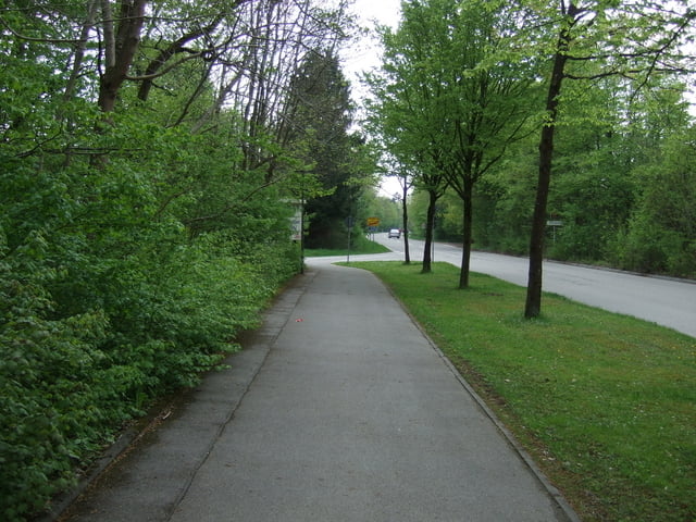
Die Tour beginnt in der Waterloostr. in Muc./Forstenried und führt teilweise über wenig befahrene Straßen. Mit etwas Glück trifft man im Forstenriederpark auch mal auf ein Wildschwein. Das hatte allerdings keinerlei Interesse an Radfahren und Skatern.
Galeria trasy


Mapa trasy i profil wysokości
Minimum height 533 m
Maximum height 613 m
More about the tour author

|
segreta |
Komentarze

GPS tracks
Trackpoints-
GPX / Garmin Map Source (gpx) download
-
TCX / Garmin Training Center® (tcx) download
-
CRS / Garmin Training Center® (crs) download
-
Google Earth (kml) download
-
G7ToWin (g7t) download
-
TTQV (trk) download
-
Overlay (ovl) download
-
Fugawi (txt) download
-
Kompass (DAV) Track (tk) download
-
Karta trasy (pdf) download
-
Original file of the author (gpx) download
More about the tour author
|
|
segreta |
Add to my favorites
Remove from my favorites
Edit tags
Open track
My score
Rate