
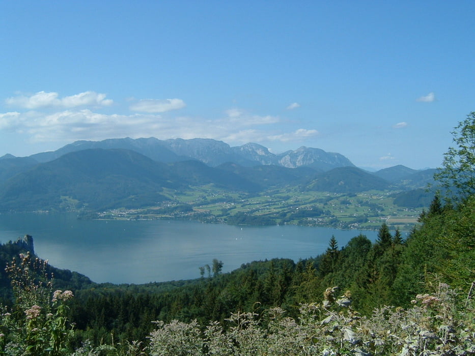

Kurztour mit sagenhaften Blicken auf den Attersee und in Richtung Schafberg. Man kommt sich vor wie am Gardasee. Die Auffahrt ist mäßig steil 8-12% (kurz bis 17%.
Ein kurzer Trail mit anschließendem Asphaltdownhill und wiederrum wunderbaren Ausblicken verschönert die Tour. Als Abschluss solte man unbedingt auf eine Jause zur Mostschenke holzinger.
Ein kurzer Trail mit anschließendem Asphaltdownhill und wiederrum wunderbaren Ausblicken verschönert die Tour. Als Abschluss solte man unbedingt auf eine Jause zur Mostschenke holzinger.
Mapa trasy i profil wysokości
Minimum height 465 m
Maximum height 873 m
More about the tour author

|
trailmaster_tom |
Komentarze

Abfahrt Seewalchen/Schörfling A1, Ostufer Richtung Seefeld bei Steinbach. Startpunkt Hotel Brmhosen in Weyregg oder BMW Födinger bzw. Gasthof Födinger in Steinbach.
GPS tracks
Trackpoints-
GPX / Garmin Map Source (gpx) download
-
TCX / Garmin Training Center® (tcx) download
-
CRS / Garmin Training Center® (crs) download
-
Google Earth (kml) download
-
G7ToWin (g7t) download
-
TTQV (trk) download
-
Overlay (ovl) download
-
Fugawi (txt) download
-
Kompass (DAV) Track (tk) download
-
Karta trasy (pdf) download
-
Original file of the author (g7t) download
More about the tour author
|
|
trailmaster_tom |
Add to my favorites
Remove from my favorites
Edit tags
Open track
My score
Rate