Login

Zapomniałeś swój login?

Cookies have to be accepted!
Your browser's cookie functionality is disabled. Please enable this functionality.

Not a member yet?

Register now
Login

Available for registred users only

Log in to use this feature.

Zapomniałeś swój login?

Cookies have to be accepted!
Your browser's cookie functionality is disabled. Please enable this functionality.

Not a member yet?

Register now
Filter
Kategorie
Advanced filters
  • Długość (km)
  • Wysokość
Zapisz filtr Reset filter

TrackRank

QRCode

Technical data

Długość227,9 km Wysokość636 m Way down1277 m Czas trwania16:00 h:m Data29.05.2009
Oceny Author User Krajobraz Czynnik zadowolenia Kondycja Technika

Statystyka

742 Widoki 1 Ocena 158 Downloads / Pliki do pobrania 3.00 Przeciętnie
Rate
  • Karta trasy
  • Dojazd
  • Downloads / Pliki do pobrania

Zu dieser Tour braucht man eigentlich nichts mehr sagen.

Ist der Hammer, werde ich in meinem Leben noch zig mal fahren.
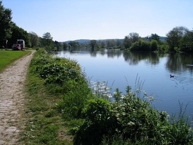
Landschaft, Kultur und tolle Bikewege, alles am Start.

Wir sind die Tour am 21.05.2009 gefahren, zur früheren Fahrt, es gab ein paar kleine Änderungen in der Streckenführung.

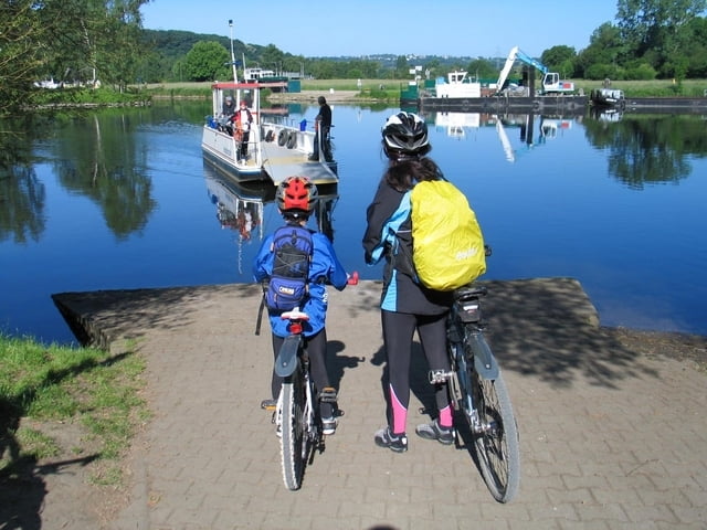
In Essen hinterm Baldeneysee gab es eine Baustelle, welche zum Tragen des Bikes führte. Das lässt sich bestimmt umfahren.

Ansonsten wird es in Deutschland wohl schwer, einen schöneren Radweg zu finden :-)

Viel Spaß!

Further information at

http://www.ruhrtalradweg.de/

Galeria trasy

Mapa trasy i profil wysokości

  • Open Street Map
  • Google
Minimum height 23 m Maximum height 664 m Widok szczegółowy

More about the tour author

lector
Member since 2009

Send private message

Komentarze

ghostrider2908 on 10.04.2014

Tour 35728 Ruhrtalradweg

Schöne Tour! Bin sie an einem Tag gefahren (12 Std. + zwei kleine Pausen). Werde sie irgendwann mal von Duisburg aus nach Winterberg fahren. Aber dann wohl mit Übernachtung!

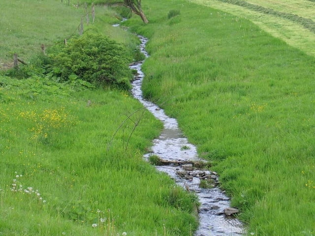
Mit dem Zug zum Hauptbahnhof Winterberg.
Hoch zur Quelle und los gehts.


GPS tracks

Trackpoints
  • GPX / Garmin Map Source (gpx) download
  • TCX / Garmin Training Center® (tcx) download
  • CRS / Garmin Training Center® (crs) download
  • Google Earth (kml) download
  • G7ToWin (g7t) download
  • TTQV (trk) download
  • Overlay (ovl) download
  • Fugawi (txt) download
  • Kompass (DAV) Track (tk) download
  • Karta trasy (pdf) download
  • Original file of the author (gpx) download

More about the tour author

lector
Member since 2009

Send private message
Share track
Add to my favorites
Remove from my favorites
Edit tags
My score
Rate
Trasa: Ruhrtalradweg
Rodzaj: Rower górski (MTB)
Długość: 227,9 km
Evaluated on:
Czas trwania:
Day(s)
Hour(s)
Minute(s)
Ocena: Krajobraz Czynnik zadowolenia Kondycja Technika