


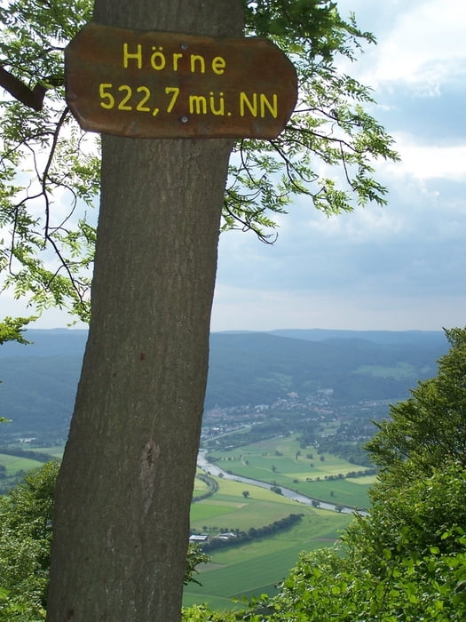
Eine sehr schöne kleine Tour. Es geht am Anfang stetig den Berg hoch. Teilweise ist der Weg asphaltiert. Auf der Höhe, direkt an der Grenze zu Thüringen, geht es dann auf einem Forstweg weiter bis man auf Wanderwegen zu super Aussichtspunkten kommt. Der letzte Abschnitt zum Hörne ist dann etwas anspruchsvoller. Der Weg ist steil und geht durch eine Flanke. Der Anstieg zum Hörne auf dem Waldgrat ist spitze.
Der Rückweg nach Hizelrode ist manchmal nach einem Regen etwas schmierig.
Further information at
http://www.premium-wandern.de/files/wege/weg_36.pdfGaleria trasy
Mapa trasy i profil wysokości
Minimum height 309 m
Maximum height 569 m
More about the tour author
|
|
Pheinz |
Komentarze
Von Kassel nach Hessisch Lichtenau. Immer nach Osten bis zu dem kleinen Ort Hitzelrode. Startpunkt ist der Parkplatz bei der scharfen Kurve am Nordrand des Ortes.
GPS tracks
Trackpoints-
GPX / Garmin Map Source (gpx) download
-
TCX / Garmin Training Center® (tcx) download
-
CRS / Garmin Training Center® (crs) download
-
Google Earth (kml) download
-
G7ToWin (g7t) download
-
TTQV (trk) download
-
Overlay (ovl) download
-
Fugawi (txt) download
-
Kompass (DAV) Track (tk) download
-
Karta trasy (pdf) download
-
Original file of the author (gpx) download
More about the tour author
|
|
Pheinz |
Add to my favorites
Remove from my favorites
Edit tags
Open track
My score
Rate
Schöne Tour