Login

Zapomniałeś swój login?

Cookies have to be accepted!
Your browser's cookie functionality is disabled. Please enable this functionality.

Not a member yet?

Register now
Login

Available for registred users only

Log in to use this feature.

Zapomniałeś swój login?

Cookies have to be accepted!
Your browser's cookie functionality is disabled. Please enable this functionality.

Not a member yet?

Register now
Filter
Kategorie
Advanced filters
  • Długość (km)
  • Wysokość
Zapisz filtr Reset filter

TrackRank

QRCode

Technical data

Długość30,1 km Wysokość512 m Way down505 m Czas trwania02:40 h:m Data30.05.2009
Oceny Author Krajobraz Czynnik zadowolenia Kondycja Technika

Statystyka

1434 Widoki Oceny 90 Downloads / Pliki do pobrania Przeciętnie
Rate
  • Karta trasy
  • Dojazd
  • Downloads / Pliki do pobrania

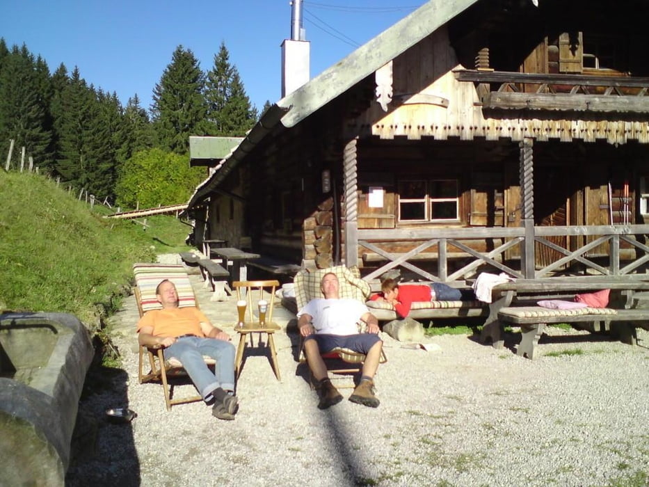
Kleine aber feine Feierabendspritztour, für durschtige Seelen, zur Sigrizalm mit Start in Piesenkam am Maibaum

Galeria trasy

Mapa trasy i profil wysokości

  • Open Street Map
  • Google
Minimum height 710 m Maximum height 1165 m Widok szczegółowy

More about the tour author

bmwmai
Member since 2008

Send private message

Komentarze

DaBertl on 03.07.2009

Durst

Unser "Vereinsheim", die Sigriz-Alm ist keine Alpenvereinshütte, dennoch sind sämtliche Radler und Bergwanderer herzlich willkommen. Die Alm ist nicht bewirtschaftet. Schaut mal rein!

Die Hüttenöffnungszeiten
Samstag: ab 12:00 Uhr
Sonntag: bis 17:00 Uhr
Mittwoch (von Mitte Mai bis 16.09.09): von 17.00 Uhr bis 22.30 Uhr
für Radler und Fußgänger

GPS tracks

Trackpoints
  • GPX / Garmin Map Source (gpx) download
  • TCX / Garmin Training Center® (tcx) download
  • CRS / Garmin Training Center® (crs) download
  • Google Earth (kml) download
  • G7ToWin (g7t) download
  • TTQV (trk) download
  • Overlay (ovl) download
  • Fugawi (txt) download
  • Kompass (DAV) Track (tk) download
  • Karta trasy (pdf) download
  • Original file of the author (gpx) download

More about the tour author

bmwmai
Member since 2008

Send private message
Share track
Add to my favorites
Remove from my favorites
Edit tags
My score
Rate
Trasa: Piesenkam - Sigrizalm
Rodzaj: Rower górski (MTB)
Długość: 30,1 km
Evaluated on:
Czas trwania:
Day(s)
Hour(s)
Minute(s)
Ocena: Krajobraz Czynnik zadowolenia Kondycja Technika