Login

Zapomniałeś swój login?

Cookies have to be accepted!
Your browser's cookie functionality is disabled. Please enable this functionality.

Not a member yet?

Register now
Login

Available for registred users only

Log in to use this feature.

Zapomniałeś swój login?

Cookies have to be accepted!
Your browser's cookie functionality is disabled. Please enable this functionality.

Not a member yet?

Register now
Filter
Kategorie
Advanced filters
  • Długość (km)
  • Wysokość
Zapisz filtr Reset filter

TrackRank

QRCode

Technical data

Długość36,2 km Wysokość630 m Way down637 m Czas trwania04:00 h:m Data31.05.2009
Oceny Author Krajobraz Czynnik zadowolenia Kondycja Technika

Statystyka

607 Widoki Oceny 87 Downloads / Pliki do pobrania Przeciętnie
Rate
  • Karta trasy
  • Dojazd
  • Downloads / Pliki do pobrania
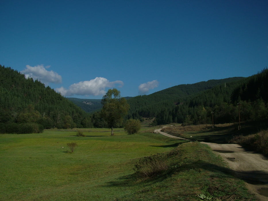
Half day journey in the vicinity of  Velingrad. It leads along the valley of Ablanitsa River up to the village of Sveta Petka from which it goes along the ridge of Ostrets up to Vodni Kamak area. From this point following the forest road down on the slopes of Ostrets the route returns back to Velingrad.

Further information at

http://www.rudopia.org

Galeria trasy

Mapa trasy i profil wysokości

  • Open Street Map
  • Google
Minimum height 759 m Maximum height 1252 m Widok szczegółowy

More about the tour author

Pirateria
Member since 2008

Send private message

Komentarze

GPS tracks

Trackpoints
  • GPX / Garmin Map Source (gpx) download
  • TCX / Garmin Training Center® (tcx) download
  • CRS / Garmin Training Center® (crs) download
  • Google Earth (kml) download
  • G7ToWin (g7t) download
  • TTQV (trk) download
  • Overlay (ovl) download
  • Fugawi (txt) download
  • Kompass (DAV) Track (tk) download
  • Karta trasy (pdf) download
  • Original file of the author (gpx) download

More about the tour author

Pirateria
Member since 2008

Send private message
Share track
Add to my favorites
Remove from my favorites
Edit tags
My score
Rate
Trasa: Velingrad - Sveta Petka - Velingrad
Rodzaj: Rower górski (MTB)
Długość: 36,2 km
Evaluated on:
Czas trwania:
Day(s)
Hour(s)
Minute(s)
Ocena: Krajobraz Czynnik zadowolenia Kondycja Technika