Login

Zapomniałeś swój login?

Cookies have to be accepted!
Your browser's cookie functionality is disabled. Please enable this functionality.

Not a member yet?

Register now
Login

Available for registred users only

Log in to use this feature.

Zapomniałeś swój login?

Cookies have to be accepted!
Your browser's cookie functionality is disabled. Please enable this functionality.

Not a member yet?

Register now
Filter
Kategorie
Advanced filters
  • Długość (km)
  • Wysokość
Zapisz filtr Reset filter

TrackRank

QRCode

Technical data

Długość33,3 km Wysokość626 m Way down1024 m Czas trwania03:30 h:m Data31.05.2009
Oceny Author Krajobraz Czynnik zadowolenia Kondycja Technika

Statystyka

376 Widoki Oceny 51 Downloads / Pliki do pobrania Przeciętnie
Rate
  • Karta trasy
  • Dojazd
  • Downloads / Pliki do pobrania
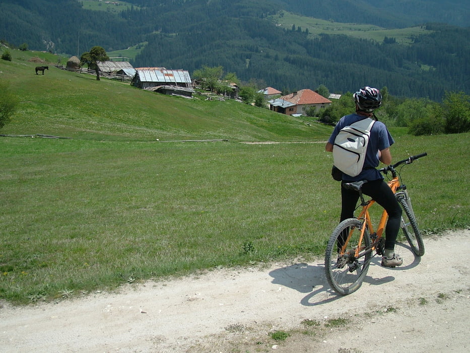
Mountain bike tour in the northwest part of the Rhodope Mountains. The start is at the highest train station on the Balkans - Avramovi Kolibi - 1267 m. From this point the route climbs up to the Veliitsa peak (1711 m) and descends down to the valley of Zlataritsa River passing trough the picturesque villages of Ortzevo, Chereshovo and Palatik. The route terminates at Eleshnitsa.

Galeria trasy

Mapa trasy i profil wysokości

  • Open Street Map
  • Google
Minimum height 798 m Maximum height 1720 m Widok szczegółowy

More about the tour author

Pirateria
Member since 2008

Send private message

Komentarze

GPS tracks

Trackpoints
  • GPX / Garmin Map Source (gpx) download
  • TCX / Garmin Training Center® (tcx) download
  • CRS / Garmin Training Center® (crs) download
  • Google Earth (kml) download
  • G7ToWin (g7t) download
  • TTQV (trk) download
  • Overlay (ovl) download
  • Fugawi (txt) download
  • Kompass (DAV) Track (tk) download
  • Karta trasy (pdf) download
  • Original file of the author (gpx) download

More about the tour author

Pirateria
Member since 2008

Send private message
Share track
Add to my favorites
Remove from my favorites
Edit tags
My score
Rate
Trasa: Avramovo - Eleshnitza
Rodzaj: Rower górski (MTB)
Długość: 33,3 km
Evaluated on:
Czas trwania:
Day(s)
Hour(s)
Minute(s)
Ocena: Krajobraz Czynnik zadowolenia Kondycja Technika