Login

Zapomniałeś swój login?

Cookies have to be accepted!
Your browser's cookie functionality is disabled. Please enable this functionality.

Not a member yet?

Register now
Login

Available for registred users only

Log in to use this feature.

Zapomniałeś swój login?

Cookies have to be accepted!
Your browser's cookie functionality is disabled. Please enable this functionality.

Not a member yet?

Register now
Filter
Kategorie
Advanced filters
  • Długość (km)
  • Wysokość
Zapisz filtr Reset filter

TrackRank

QRCode

Technical data

Długość44,3 km Wysokość726 m Way down788 m Czas trwania04:30 h:m Data01.06.2009
Oceny Author Krajobraz Czynnik zadowolenia Kondycja Technika

Statystyka

379 Widoki Oceny 48 Downloads / Pliki do pobrania Przeciętnie
Rate
  • Karta trasy
  • Dojazd
  • Downloads / Pliki do pobrania

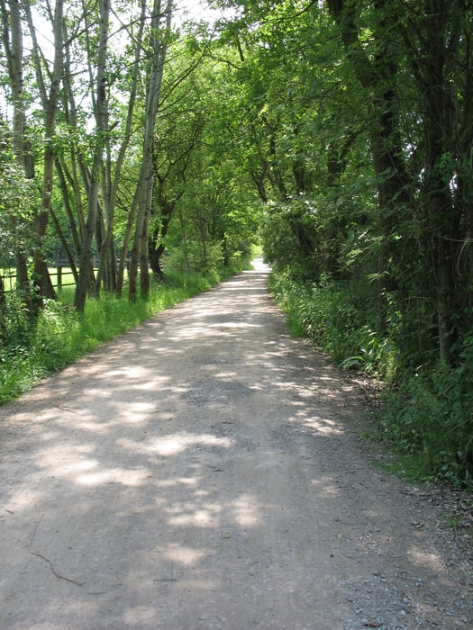
Ich bin die Tour am 24.05.2009 bei bestem Wetter gefahren.

Es handelt sich um die Rückfahrt zur Tour 35651. Die Touren wurden wegen der teilweisen Überschneidungen und parallelen Wegverläufe getrennt.

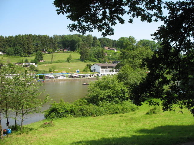
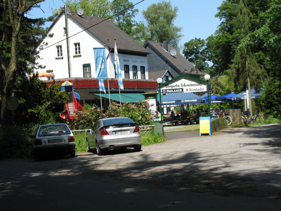
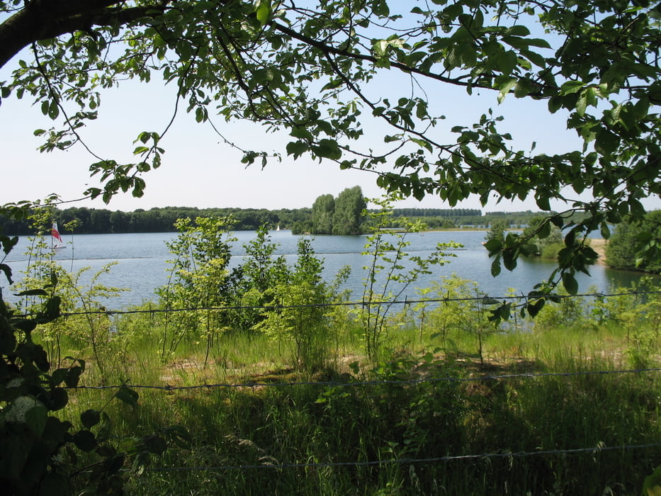
Auf dem Weg befindet sich die Diepertaler Talsperre, die sicherlich auch einen Ausflug wert ist (besonders bei gutem Wetter).

Die Aufzeichnung des Tracks erfolgte mit einem etrex legend hcx und die Planung und Überarbeitung mit TTQV 4.0

Galeria trasy

Mapa trasy i profil wysokości

  • Open Street Map
  • Google
Minimum height 29 m Maximum height 199 m Widok szczegółowy

More about the tour author

marei
Member since 2008

Send private message

Komentarze

GPS tracks

Trackpoints
  • GPX / Garmin Map Source (gpx) download
  • TCX / Garmin Training Center® (tcx) download
  • CRS / Garmin Training Center® (crs) download
  • Google Earth (kml) download
  • G7ToWin (g7t) download
  • TTQV (trk) download
  • Overlay (ovl) download
  • Fugawi (txt) download
  • Kompass (DAV) Track (tk) download
  • Karta trasy (pdf) download
  • Original file of the author (gpx) download

More about the tour author

marei
Member since 2008

Send private message
Share track
Add to my favorites
Remove from my favorites
Edit tags
My score
Rate
Trasa: Düsseldorf - Altenberger Dom II
Rodzaj: Rower trekkingowy
Długość: 44,3 km
Evaluated on:
Czas trwania:
Day(s)
Hour(s)
Minute(s)
Ocena: Krajobraz Czynnik zadowolenia Kondycja Technika