Sehr angenehme Tour mit dem Ziel, zwischendurch, ein gutes Essen zu bekommen.
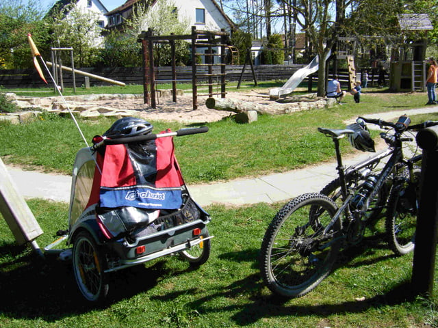
Die gesamte Tour ist gut mit einem Kinderanhänger zu fahren.
Als zwischenstopp bietet sich der Kinderspielplatz in Pentzenhofen an, dort können sich die Kinden noch austoben.
Further information at
http://thairestaurant-orchidee.de/index.php?option=com_frontpage&Itemid=1Mapa trasy i profil wysokości
Minimum height 342 m
Maximum height 428 m
Komentarze

Start und Ziel ist der Bahnhof in Ochenbruck.
GPS tracks
Trackpoints-
GPX / Garmin Map Source (gpx) download
-
TCX / Garmin Training Center® (tcx) download
-
CRS / Garmin Training Center® (crs) download
-
Google Earth (kml) download
-
G7ToWin (g7t) download
-
TTQV (trk) download
-
Overlay (ovl) download
-
Fugawi (txt) download
-
Kompass (DAV) Track (tk) download
-
Karta trasy (pdf) download
-
Original file of the author (gpx) download
Add to my favorites
Remove from my favorites
Edit tags
Open track
My score
Rate


