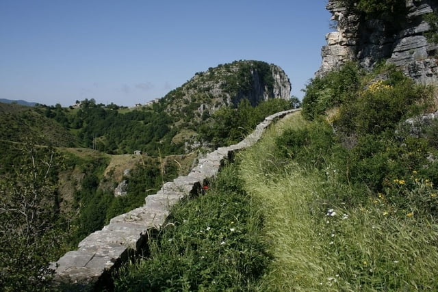
A nice well known trail from Kapessovo to Vradeto in Zagoria region (Greece). The trail mainly follow a beautifully constructed old stone mule path up the steep slope of the mountain and and also crosses two old stone bridges.
Galeria trasy
Mapa trasy i profil wysokości
Minimum height 1061 m
Maximum height 1330 m
Komentarze

The trail starts near Kapessovo.
GPS tracks
Trackpoints-
GPX / Garmin Map Source (gpx) download
-
TCX / Garmin Training Center® (tcx) download
-
CRS / Garmin Training Center® (crs) download
-
Google Earth (kml) download
-
G7ToWin (g7t) download
-
TTQV (trk) download
-
Overlay (ovl) download
-
Fugawi (txt) download
-
Kompass (DAV) Track (tk) download
-
Karta trasy (pdf) download
-
Original file of the author (gpx) download
Add to my favorites
Remove from my favorites
Edit tags
Open track
My score
Rate


