Login

Zapomniałeś swój login?

Cookies have to be accepted!
Your browser's cookie functionality is disabled. Please enable this functionality.

Not a member yet?

Register now
Login

Available for registred users only

Log in to use this feature.

Zapomniałeś swój login?

Cookies have to be accepted!
Your browser's cookie functionality is disabled. Please enable this functionality.

Not a member yet?

Register now
Filter
Kategorie
Advanced filters
  • Długość (km)
  • Wysokość
Zapisz filtr Reset filter

TrackRank

QRCode

Technical data

Długość4,5 km Wysokość489 m Way down0 m Czas trwania01:30 h:m Data20.09.2003
Oceny Author Krajobraz Czynnik zadowolenia Kondycja Technika

Statystyka

2556 Widoki Oceny 255 Downloads / Pliki do pobrania Przeciętnie
Rate
  • Karta trasy
  • Dojazd
  • Downloads / Pliki do pobrania
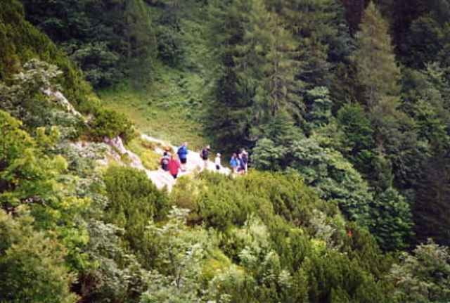
Zuerst geht es das Goslitztal rein. An einigen Hütten vorbei, wobei auch eine bewirtschaftet ist. Danach steiler rauf zur Holzeralm. Am Ende des Almbodens noch ein steiler Aufschwung und dann ein Promenadenweg mit Panoramablick zur Gowilalm. Bekannt für ihre Süßspeisen.

Galeria trasy

Mapa trasy i profil wysokości

  • Open Street Map
  • Google
Minimum height 880 m Maximum height 1375 m Widok szczegółowy

More about the tour author

Walter 12XL
Member since 2003

Send private message

Komentarze

Zirbengeist on 16.09.2016

Gowilalm

Eine schöne Rast auf dem Weg zum Kleinen- oder Großen Pyhrgas
Von Windischgarsten nach Oberweng hinauf.

GPS tracks

Trackpoints
  • GPX / Garmin Map Source (gpx) download
  • TCX / Garmin Training Center® (tcx) download
  • CRS / Garmin Training Center® (crs) download
  • Google Earth (kml) download
  • G7ToWin (g7t) download
  • TTQV (trk) download
  • Overlay (ovl) download
  • Fugawi (txt) download
  • Kompass (DAV) Track (tk) download
  • Karta trasy (pdf) download
  • Original file of the author (g7t) download

More about the tour author

Walter 12XL
Member since 2003

Send private message
Share track
Add to my favorites
Remove from my favorites
Edit tags
My score
Rate
Trasa: Gowilalm
Rodzaj: Wędrówki
Długość: 4,5 km
Evaluated on:
Czas trwania:
Day(s)
Hour(s)
Minute(s)
Ocena: Krajobraz Czynnik zadowolenia Kondycja Technika