


Tagestour "Senioren Büro Maintal"
Start an der Dörnigheimer Fähre über Mühlheim, Bieber, Heusenstamm, Rödermark, Eppertshausen zum Gutshof Thomashütte.
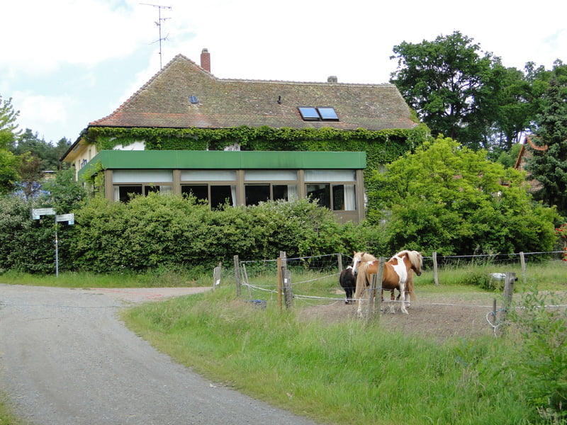
Einkehr. Rückweg über Rodgau.
Große Wegstrecken liegen auf dem Radweg R4.
Es sind keine nennenswerten Steigungen vorhanden.
Strecke für Rennrad nicht geeignet.
Für Erwachsene und "verkehrssichere", große Kinder bestens geeignet. Für Räder mit Anhänger nicht zu empfehlen.
Further information at
http://www.thomashuette-eppertshausen.deGaleria trasy


Mapa trasy i profil wysokości
Minimum height 105 m
Maximum height 152 m
More about the tour author
|
|
Bischemer |
Komentarze

Anfahrt aus Richtung Frankfurt oder Hanau über die A66 bzw. B8 nach Maintal-Dörnigheim. In Richtung Fähre abbiegen. Am Main gibt es Parkplätze.
Da es ein Rundkurs ist, kann an jeder beliebigen Stelle gestartet werden.
GPS tracks
Trackpoints-
GPX / Garmin Map Source (gpx) download
-
TCX / Garmin Training Center® (tcx) download
-
CRS / Garmin Training Center® (crs) download
-
Google Earth (kml) download
-
G7ToWin (g7t) download
-
TTQV (trk) download
-
Overlay (ovl) download
-
Fugawi (txt) download
-
Kompass (DAV) Track (tk) download
-
Karta trasy (pdf) download
-
Original file of the author (gpx) download
More about the tour author
|
|
Bischemer |
Add to my favorites
Remove from my favorites
Edit tags
Open track
My score
Rate