Login

Zapomniałeś swój login?

Cookies have to be accepted!
Your browser's cookie functionality is disabled. Please enable this functionality.

Not a member yet?

Register now
Login

Available for registred users only

Log in to use this feature.

Zapomniałeś swój login?

Cookies have to be accepted!
Your browser's cookie functionality is disabled. Please enable this functionality.

Not a member yet?

Register now
Filter
Kategorie
Advanced filters
  • Długość (km)
  • Wysokość
Zapisz filtr Reset filter

TrackRank

QRCode

Technical data

Długość28,4 km Wysokość595 m Way down623 m Czas trwania02:30 h:m Data13.06.2009
Oceny Author Krajobraz Czynnik zadowolenia Kondycja Technika

Statystyka

363 Widoki Oceny 38 Downloads / Pliki do pobrania Przeciętnie
Rate
  • Karta trasy
  • Dojazd
  • Downloads / Pliki do pobrania
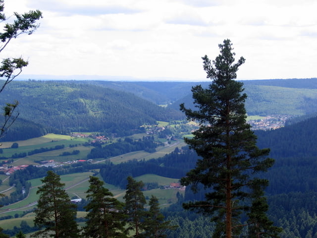
Die Tour beginnt in Baiersbronn und geht bis nach Röt auf dem Murgtalradweg. In Röt radelt man aufwärts über die Sommerhalde bis zum Sommerwälles Brunnen. Hier kann man noch ein frisches Quellwasser geniessen. Die Höhen haben wir allerdings noch nicht erreicht und so geht  es weiter bergauf bis zum Vorderen Plon und dann kann man bequem auf einer geteerten Straße bis hinunter ins Tonbachtal fahren.

Galeria trasy

Mapa trasy i profil wysokości

  • Open Street Map
  • Google
Minimum height 517 m Maximum height 918 m Widok szczegółowy

More about the tour author

SiegfriedTheurer
Member since 2008

Send private message

Komentarze

GPS tracks

Trackpoints
  • GPX / Garmin Map Source (gpx) download
  • TCX / Garmin Training Center® (tcx) download
  • CRS / Garmin Training Center® (crs) download
  • Google Earth (kml) download
  • G7ToWin (g7t) download
  • TTQV (trk) download
  • Overlay (ovl) download
  • Fugawi (txt) download
  • Kompass (DAV) Track (tk) download
  • Karta trasy (pdf) download
  • Original file of the author (gpx) download

More about the tour author

SiegfriedTheurer
Member since 2008

Send private message
Share track
Add to my favorites
Remove from my favorites
Edit tags
My score
Rate
Trasa: Baiersbronn Röt Sommerwälles Brunnen Tonbach
Rodzaj: Rower trekkingowy
Długość: 28,4 km
Evaluated on:
Czas trwania:
Day(s)
Hour(s)
Minute(s)
Ocena: Krajobraz Czynnik zadowolenia Kondycja Technika