Login

Zapomniałeś swój login?

Cookies have to be accepted!
Your browser's cookie functionality is disabled. Please enable this functionality.

Not a member yet?

Register now
Login

Available for registred users only

Log in to use this feature.

Zapomniałeś swój login?

Cookies have to be accepted!
Your browser's cookie functionality is disabled. Please enable this functionality.

Not a member yet?

Register now
Filter
Kategorie
Advanced filters
  • Długość (km)
  • Wysokość
Zapisz filtr Reset filter

TrackRank

QRCode

Technical data

Długość80,4 km Wysokość915 m Way down933 m Czas trwania05:00 h:m Data13.06.2009
Oceny Author User Krajobraz Czynnik zadowolenia Kondycja Technika

Statystyka

310 Widoki 2 Oceny 46 Downloads / Pliki do pobrania 4.00 Przeciętnie
Rate
  • Karta trasy
  • Dojazd
  • Downloads / Pliki do pobrania
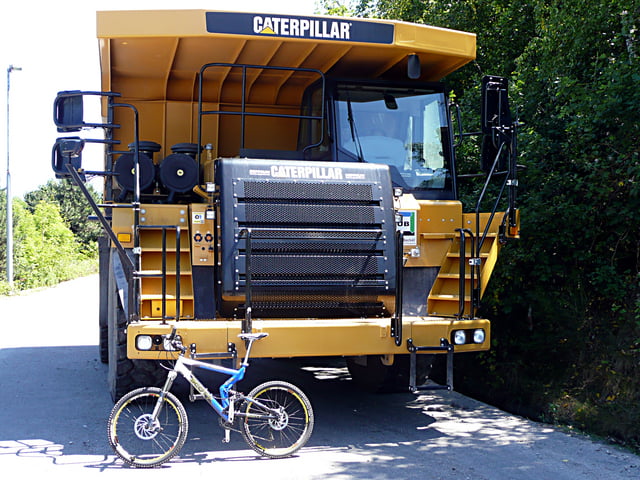
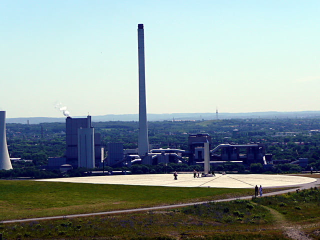
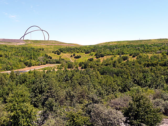
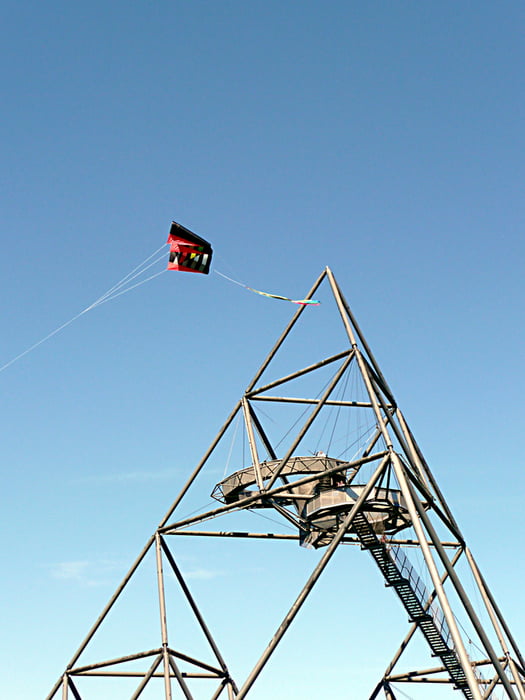
Mal wieder von Gladbeck über die Halden.

Galeria trasy

Mapa trasy i profil wysokości

  • Open Street Map
  • Google
Minimum height 28 m Maximum height 183 m Widok szczegółowy

More about the tour author

tottreter
Member since 2006

Send private message

Komentarze

Captain on 03.04.2010

Schöner Ruhrpott

Da leben wir schon 37 Jahre im Ruhrgebiet und benötigen Deine Hilfe um diese tollen Halden zu erkundschaften. Tolle Tour mit super Trails, jede Menge Industriekultur und allem was den Ruhrpott so aus macht. Mich persönlich hat lediglich der Anblick auf die Sporthalle in Herne-West ein wenig gestört - aber sie gehört ja halt dazu ;)
Glück auf und frohe Ostern wünscht "Der Captain"

GPS tracks

Trackpoints
  • GPX / Garmin Map Source (gpx) download
  • TCX / Garmin Training Center® (tcx) download
  • CRS / Garmin Training Center® (crs) download
  • Google Earth (kml) download
  • G7ToWin (g7t) download
  • TTQV (trk) download
  • Overlay (ovl) download
  • Fugawi (txt) download
  • Kompass (DAV) Track (tk) download
  • Karta trasy (pdf) download
  • Original file of the author (gpx) download

More about the tour author

tottreter
Member since 2006

Send private message
Share track
Add to my favorites
Remove from my favorites
Edit tags
My score
Rate
Trasa: Haldentour
Rodzaj: Rower górski (MTB)
Długość: 80,4 km
Evaluated on:
Czas trwania:
Day(s)
Hour(s)
Minute(s)
Ocena: Krajobraz Czynnik zadowolenia Kondycja Technika