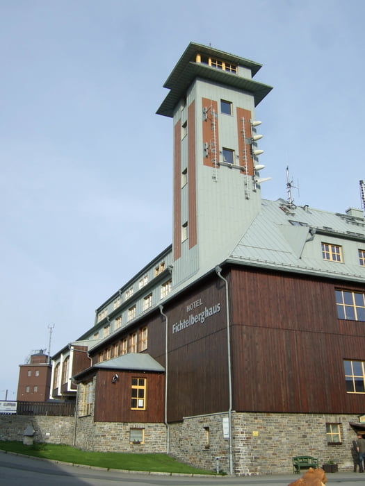
Sehr schöne Tour über den Fichtelberg zum Keilberg mit Umrundung und über Tellerhäuser und Markersbach zurück.Bis zum Keilberg geht es überwiegwend teils steil bergauf.Dafür wird man aber mit einem Super Panorama belohnt.
Mapa trasy i profil wysokości
Minimum height 546 m
Maximum height 1243 m
Komentarze

GPS tracks
Trackpoints-
GPX / Garmin Map Source (gpx) download
-
TCX / Garmin Training Center® (tcx) download
-
CRS / Garmin Training Center® (crs) download
-
Google Earth (kml) download
-
G7ToWin (g7t) download
-
TTQV (trk) download
-
Overlay (ovl) download
-
Fugawi (txt) download
-
Kompass (DAV) Track (tk) download
-
Karta trasy (pdf) download
-
Original file of the author (gpx) download
Add to my favorites
Remove from my favorites
Edit tags
Open track
My score
Rate


