


Kurzbeschreibung des Trackverlaufes:
GPS-Route ist abgelegt unter
http://www.wolf-klepzig.de/hp/rad/Peetsch-Laerz-Roebel-Gotthun-Bollewick-Laerz-Peetsch.gpx, weil bei manchen Foren keine Wegpunkte übernommen werden und der gpx-Export ohne Höheninformationen erfolgt.
Wer über keine spezielle GPS-Software verfügt, kann sich die gpx-Tracks auch in Google Earth ansehen und von dort ausdrucken. Hinweise zum Vorgehen auf Seite http://www.wolf-klepzig.de/hp/gpx_in_Google_Earth.htm.
Ähnlich Peetsch > Laerz > Roebel > Gotthun > Bollewick > Rechlin > Laerz > Peetsch, aber ohne Einkehr-Umweg über Rechlin.
Genaue Streckenbeschreibung in http://www.wolf-klepzig.de/hp/rad/Streckeninfo_Peetsch-Roebel-Gotthun-Peetsch.pdf bzw. als editierbare Exceldatei [mit rechter Maustaste => Ziel speichern unter … lokal auf PC speichern und dann mit Excel öffnen]
http://www.wolf-klepzig.de/hp/rad/Streckeninfo_Peetsch-Roebel-Gotthun-Peetsch.xls
Further information at
http://www.wolf-klepzig.de/hp/rad.htmGaleria trasy
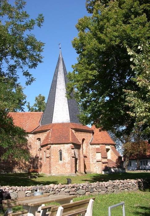
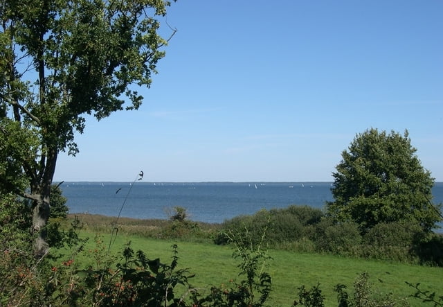
Mapa trasy i profil wysokości
Minimum height 58 m
Maximum height 87 m
More about the tour author

|
klegpst |
Komentarze

Anfahrt:
A19, Abfahrt Röbel/Müritz > B 198 Richtung Neustrelitz bis Mirow. Nach der Rechtskurve am Mirower Schloss erste Querstraße (Töpferstraße) oder dritte (Bahnhofstraße) rechts, dann auf Peetscher Weg Richtung Peetsch/Fleeter Mühle/Canow. Von Mirow bis zum Ortseingang Peetsch ist es eine sehr holprige Kopfsteinpflasterstrecke.
Parken an der Straße zum Landhotel Am Peetscher See.
GPS tracks
Trackpoints-
GPX / Garmin Map Source (gpx) download
-
TCX / Garmin Training Center® (tcx) download
-
CRS / Garmin Training Center® (crs) download
-
Google Earth (kml) download
-
G7ToWin (g7t) download
-
TTQV (trk) download
-
Overlay (ovl) download
-
Fugawi (txt) download
-
Kompass (DAV) Track (tk) download
-
Karta trasy (pdf) download
-
Original file of the author (gpx) download
More about the tour author
|
|
klegpst |
Add to my favorites
Remove from my favorites
Edit tags
Open track
My score
Rate