


kombinierte Schiff-Rad-Reise von Dubrovnik nach Trogir vom 08.06.-12.06.2009 mit Reiseveranstalter Inselhüpfen
1. Insel Sipan 08.06.2009
----Sudurad->Sipanska Luka->Sudurad----
------------------16km----254m--------------------
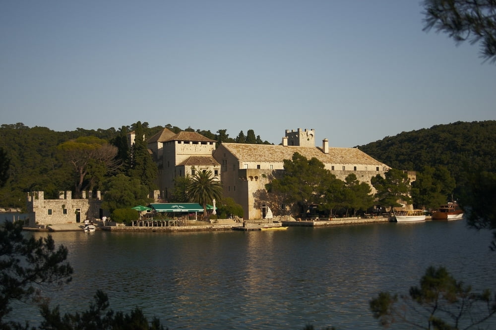
2. Insel Mljet 08.06.2009
----Sobra->Pomena----
------35km----765m-----
3. Insel Korcula 09.06.2009
----Korcula->Vela Luka----
-------77km----1520m------
4. Insel Vis 10.06.2009
----Vis->Komiza->Vis----
-------33km----793m------
5. Insel Hvar 11.06.2009
----Hvar->Stari Grad->Jelsa----
----------50km----886m-----------
6. Insel Brac 12.06.2009
----Pucisca->Supetar----
-------31km----602m------
Further information at
http://www.inselhuepfen.de/sueddalmatien-uebersichtskarte-2009.htmlGaleria trasy


Mapa trasy i profil wysokości
Minimum height -31 m
Maximum height 408 m
More about the tour author
|
|
Traubfred |
Komentarze

Abfahrt mit Schiff in Dubrovnik
Ankunft mit Schiff in Trogir
GPS tracks
Trackpoints-
GPX / Garmin Map Source (gpx) download
-
TCX / Garmin Training Center® (tcx) download
-
CRS / Garmin Training Center® (crs) download
-
Google Earth (kml) download
-
G7ToWin (g7t) download
-
TTQV (trk) download
-
Overlay (ovl) download
-
Fugawi (txt) download
-
Kompass (DAV) Track (tk) download
-
Karta trasy (pdf) download
-
Original file of the author (gpx) download
More about the tour author
|
|
Traubfred |
Add to my favorites
Remove from my favorites
Edit tags
Open track
My score
Rate