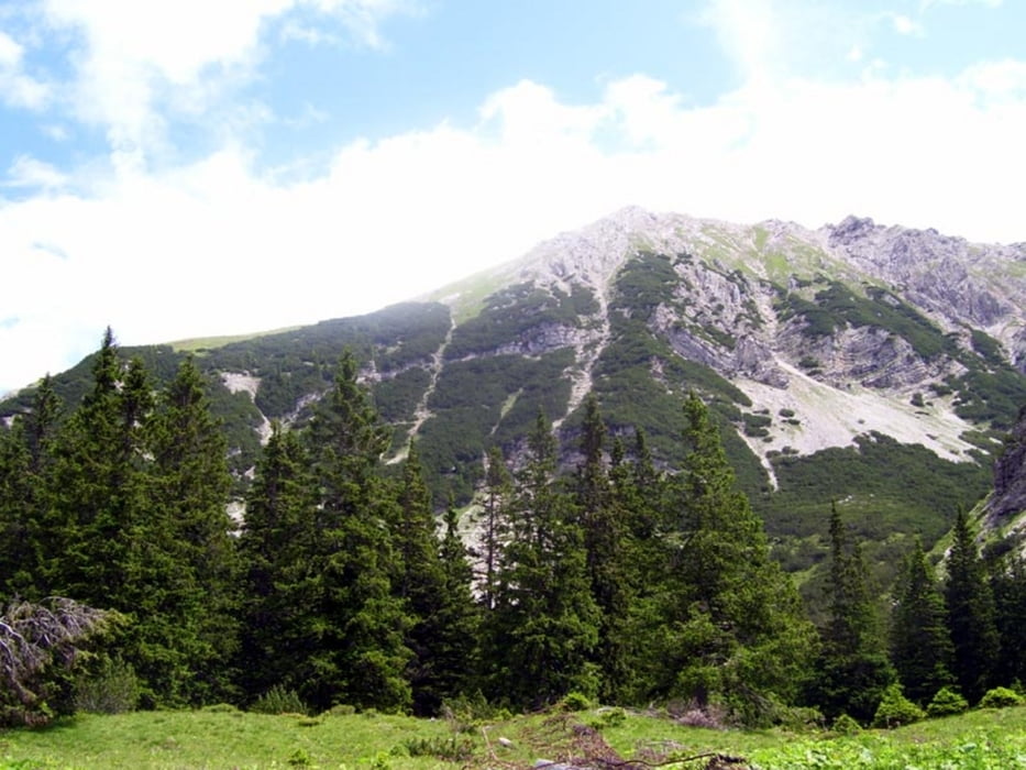
Schwarzhanskarspitze (2227m)
Wenig begangene Tour mit Blick ins Lechtal. Guter Fußpfad, z.T. in steilerem Wald- und Wiesengelände.
Abstecher zur Mahdspitze(1958m) (zusätzlich 1/2 h hin- und zurück)
Pfadspuren in Latschen, Steilgras, Geröll. Die Mahdspitze erscheint aus dem Lechtal als markanter Gipfel, entpuppt sich aber als Gratzacken mit guter Aussicht ins Lechtal.
Galeria trasy
Mapa trasy i profil wysokości
Minimum height 901 m
Maximum height 2227 m
Komentarze

Reutte - Lechtal - Forchach
P im Ortsinneren bei der Kirche, wo der Track losgeht, ca. 5 Parkplätze
GPS tracks
Trackpoints-
GPX / Garmin Map Source (gpx) download
-
TCX / Garmin Training Center® (tcx) download
-
CRS / Garmin Training Center® (crs) download
-
Google Earth (kml) download
-
G7ToWin (g7t) download
-
TTQV (trk) download
-
Overlay (ovl) download
-
Fugawi (txt) download
-
Kompass (DAV) Track (tk) download
-
Karta trasy (pdf) download
-
Original file of the author (gpx) download
Add to my favorites
Remove from my favorites
Edit tags
Open track
My score
Rate


