


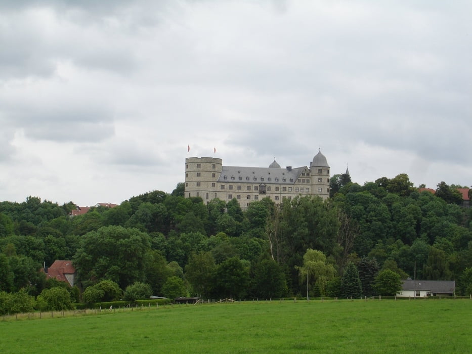
Die Route deckt sich teilweise mit der Tour 6 im Buch "Biergarten-Radtouren". Zunächt geht es über Wege und Nebenstrassen nach Salzkotten und schliesslich Upsprunge an den Hederquellen vorbei. Von hier führt die Route hoch zum Flughafen mit einem Abstecher zum Airporthotel, wo man auf der Terasse sehr gut essen kann. Die Tour führt dan ins Almetal und verläuft dan immer auf dem Almeradweg zurück nach Paderborn. Eine nette Tour weitestgehend durch sehr schöne Landschaft.
Galeria trasy
Mapa trasy i profil wysokości
Minimum height 93 m
Maximum height 237 m
More about the tour author
|
|
ralph.trapp |
Komentarze

Die Tour startet am Paderborner Padersee. Stadtauswärts am besten über Neuhäuser Tor, dann recht in den Fürstenweg, später linke in die Fürstenalle bis zum See. Oder über den Heinz-Nixdorf-Ring bis das Heinz-Nixdorf-Museumsforum (HNF) ausgeschildert ist. Dann rechtszum See oder links auf dem Parkplatz parken.
GPS tracks
Trackpoints-
GPX / Garmin Map Source (gpx) download
-
TCX / Garmin Training Center® (tcx) download
-
CRS / Garmin Training Center® (crs) download
-
Google Earth (kml) download
-
G7ToWin (g7t) download
-
TTQV (trk) download
-
Overlay (ovl) download
-
Fugawi (txt) download
-
Kompass (DAV) Track (tk) download
-
Karta trasy (pdf) download
-
Original file of the author (gpx) download
More about the tour author
|
|
ralph.trapp |
Add to my favorites
Remove from my favorites
Edit tags
Open track
My score
Rate