


- Lenzumo di Concei
- Bezzecca
- Tiarno di Sotto
- Tiarno di Sopra
- Rifugio Garibaldi
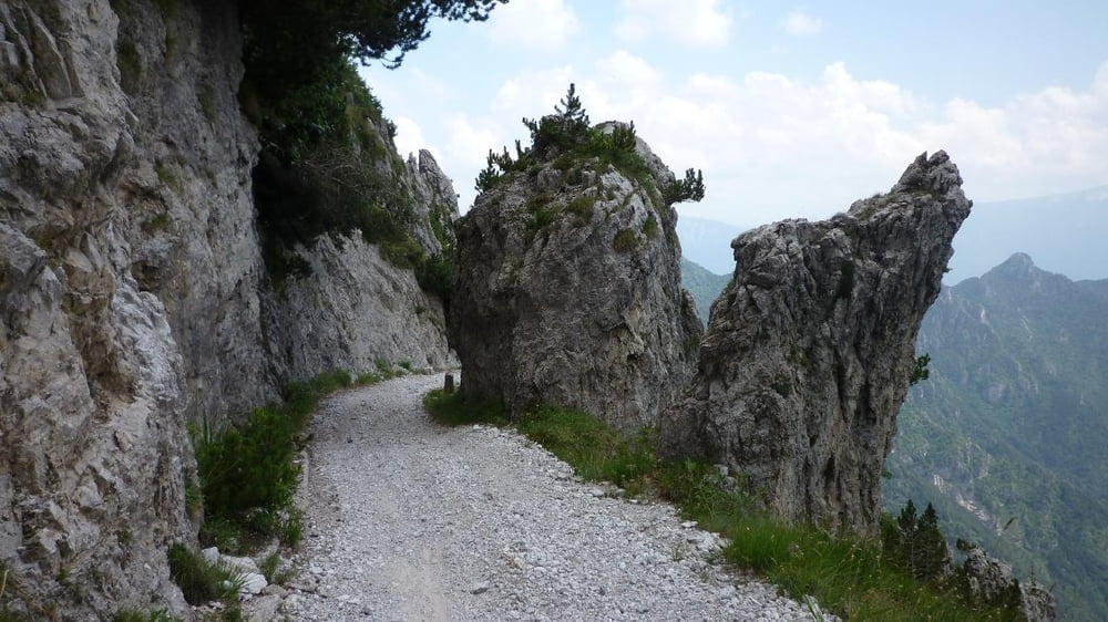
- Passo Tremalzo
- Rifugio Garda
- Tremalzo Tunnel
- Passo Nota
- Vesio
- Voltino
- Bassanega
- Limone sul Garda
- Malcesine
- Val di Sogno
Galeria trasy


Mapa trasy i profil wysokości
Minimum height 62 m
Maximum height 1844 m
More about the tour author

|
Komentarze

GPS tracks
Trackpoints-
GPX / Garmin Map Source (gpx) download
-
TCX / Garmin Training Center® (tcx) download
-
CRS / Garmin Training Center® (crs) download
-
Google Earth (kml) download
-
G7ToWin (g7t) download
-
TTQV (trk) download
-
Overlay (ovl) download
-
Fugawi (txt) download
-
Kompass (DAV) Track (tk) download
-
Karta trasy (pdf) download
-
Original file of the author (gpx) download
More about the tour author
|
|
Add to my favorites
Remove from my favorites
Edit tags
Open track
My score
Rate