Login

Zapomniałeś swój login?

Cookies have to be accepted!
Your browser's cookie functionality is disabled. Please enable this functionality.

Not a member yet?

Register now
Login

Available for registred users only

Log in to use this feature.

Zapomniałeś swój login?

Cookies have to be accepted!
Your browser's cookie functionality is disabled. Please enable this functionality.

Not a member yet?

Register now
Filter
Kategorie
Advanced filters
  • Długość (km)
  • Wysokość
Zapisz filtr Reset filter

TrackRank

QRCode

Technical data

Długość131,3 km Wysokość227 m Way down235 m Czas trwania1 day 16 h Data04.07.2009
Oceny Author Krajobraz Czynnik zadowolenia Kondycja Technika

Statystyka

340 Widoki Oceny 23 Downloads / Pliki do pobrania Przeciętnie
Rate
  • Karta trasy
  • Dojazd
  • Downloads / Pliki do pobrania

Onze fietstocht naar Ameland via Dokkum.

De terugreis gaat via Lauwersoog.

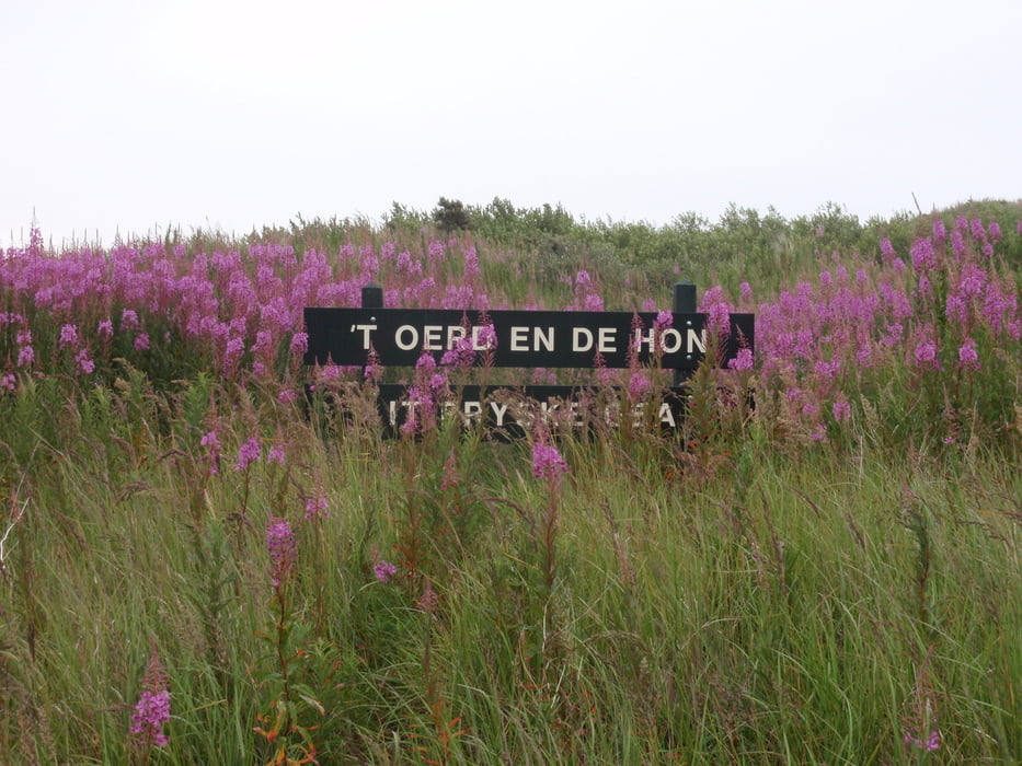
Op Ameland zijn we nog even naar Het Oerd gefietst, maar daar was het 's ochtends helaas nog niet helemaal helder.


Galeria trasy

Mapa trasy i profil wysokości

  • Open Street Map
  • Google
Minimum height -162 m Maximum height 25 m Widok szczegółowy

More about the tour author

japie7
Member since 2009

Send private message

Komentarze

GPS tracks

Trackpoints
  • GPX / Garmin Map Source (gpx) download
  • TCX / Garmin Training Center® (tcx) download
  • CRS / Garmin Training Center® (crs) download
  • Google Earth (kml) download
  • G7ToWin (g7t) download
  • TTQV (trk) download
  • Overlay (ovl) download
  • Fugawi (txt) download
  • Kompass (DAV) Track (tk) download
  • Karta trasy (pdf) download
  • Original file of the author (gpx) download

More about the tour author

japie7
Member since 2009

Send private message
Share track
Add to my favorites
Remove from my favorites
Edit tags
My score
Rate
Trasa: Noordhorn - Het Oerd
Rodzaj: Rower trekkingowy
Długość: 131,3 km
Evaluated on:
Czas trwania:
Day(s)
Hour(s)
Minute(s)
Ocena: Krajobraz Czynnik zadowolenia Kondycja Technika