
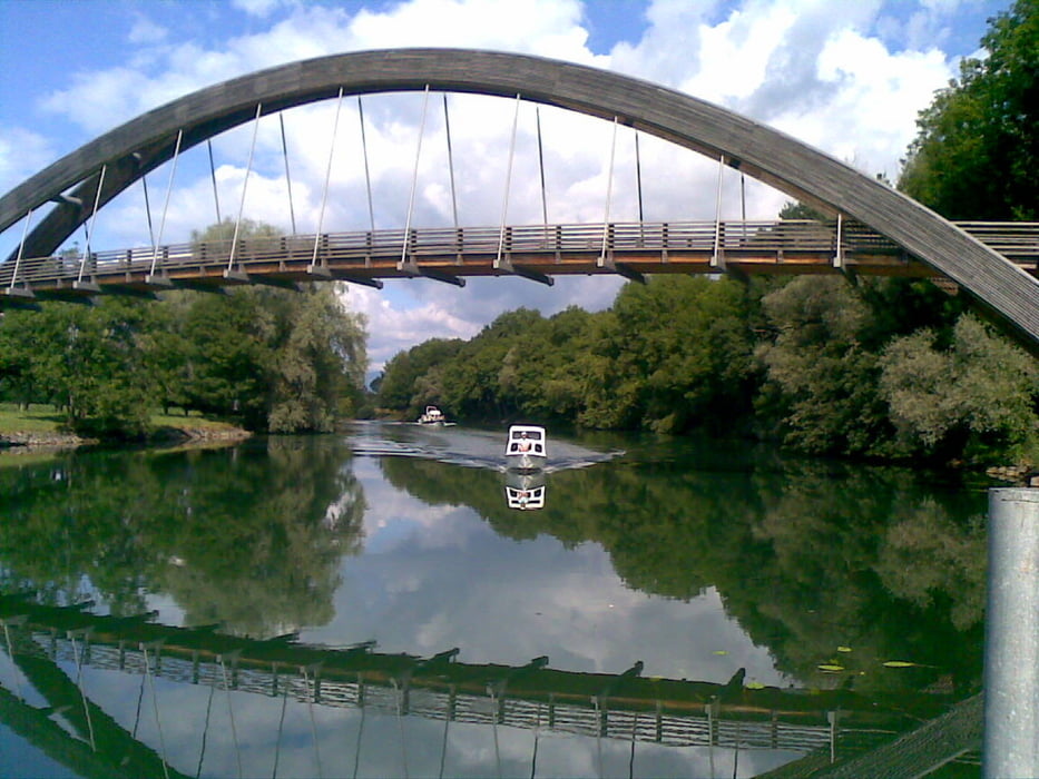

Start im Camping Les 3 Lacs, entlang des Gemüsepfades bis Kerzers. Nach einer kurzen Steigung über Landwitrschaftswege, vorbei an schönen Aussichtspunkten in das Seeland. Kurze Strecken durch den Wald. Auf einer Nebenstrasse nach Niederried. Hinunter an die Aare unterhalb des Stauwehrs Niederried. Über die Fahrradbrücke auf das rechte Ufer der Aare. Entlang der Aare bis zum malerischenStätdchen Aarberg. Zeit für einen Zwischenhalt.
Weiter entlang des Hagneckkanals, dann durch Gemüseplantagen bis zum Segelflugplatz Bellechasse und zurück zum Camping les 3 Lacs.
Mapa trasy i profil wysokości
Minimum height 426 m
Maximum height 497 m
More about the tour author
|
|
hans_berger43 |
Komentarze

Der Camping les 3 Lacs liegt am Broyekanal in der Mitte zwischen dem Murtensee und dem Neuenburgersee. Zur Expo 2002 wurde dort die Rotarybrücke erstellt.
GPS tracks
Trackpoints-
GPX / Garmin Map Source (gpx) download
-
TCX / Garmin Training Center® (tcx) download
-
CRS / Garmin Training Center® (crs) download
-
Google Earth (kml) download
-
G7ToWin (g7t) download
-
TTQV (trk) download
-
Overlay (ovl) download
-
Fugawi (txt) download
-
Kompass (DAV) Track (tk) download
-
Karta trasy (pdf) download
-
Original file of the author (gpx) download
More about the tour author
|
|
hans_berger43 |
Add to my favorites
Remove from my favorites
Edit tags
Open track
My score
Rate