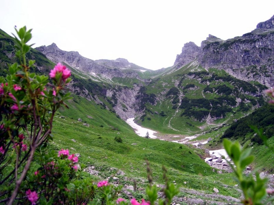
Von Hinterhornbach durch Jochbachtal auf die Jochspitz. Einfache Wanderung auf Pfaden.
Wegen des Neubaus der Brücke mussten wir von Anfang an auf der (oro.) linken Bachseite gehen. Normalerweise geht man erst auf der rechten Seite bis kurz vor den Hütten.
Galeria trasy
Mapa trasy i profil wysokości
Minimum height 1139 m
Maximum height 2235 m
Komentarze

Man fährt durch Hinterhornbach bis kurz vor einer Brücke ein kleiner Parkplatz kommt.
GPS tracks
Trackpoints-
GPX / Garmin Map Source (gpx) download
-
TCX / Garmin Training Center® (tcx) download
-
CRS / Garmin Training Center® (crs) download
-
Google Earth (kml) download
-
G7ToWin (g7t) download
-
TTQV (trk) download
-
Overlay (ovl) download
-
Fugawi (txt) download
-
Kompass (DAV) Track (tk) download
-
Karta trasy (pdf) download
-
Original file of the author (gpx) download
Add to my favorites
Remove from my favorites
Edit tags
Open track
My score
Rate


