Login

Zapomniałeś swój login?

Cookies have to be accepted!
Your browser's cookie functionality is disabled. Please enable this functionality.

Not a member yet?

Register now
Login

Available for registred users only

Log in to use this feature.

Zapomniałeś swój login?

Cookies have to be accepted!
Your browser's cookie functionality is disabled. Please enable this functionality.

Not a member yet?

Register now
Filter
Kategorie
Advanced filters
  • Długość (km)
  • Wysokość
Zapisz filtr Reset filter

TrackRank

QRCode

Technical data

Długość50,1 km Wysokość707 m Way down697 m Czas trwania00:00 h:m Data14.07.2009
Oceny Author Krajobraz Czynnik zadowolenia Kondycja Technika

Statystyka

445 Widoki Oceny 75 Downloads / Pliki do pobrania Przeciętnie
Rate
  • Karta trasy
  • Dojazd
  • Downloads / Pliki do pobrania

N 98 direction Frejus

Agay  rechts ( a droit )

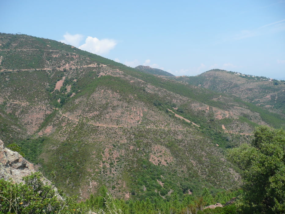
dann den Schildern " Massif d´Esterel"  folgen
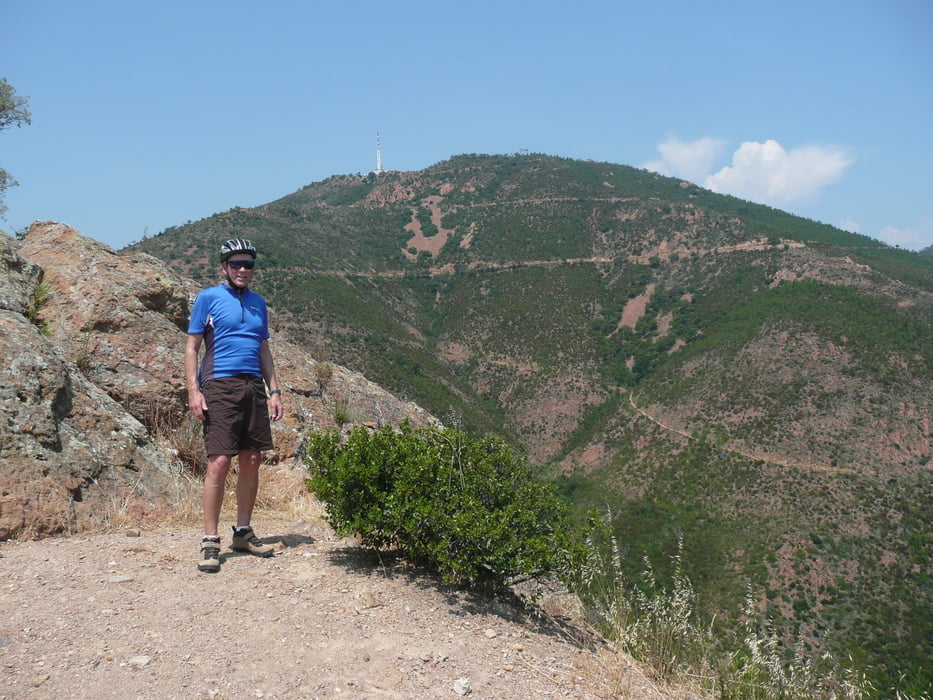
Pic d´l´Ours

Trois Termes, Maison Forestiere , davor (avant a droit) nach rechts

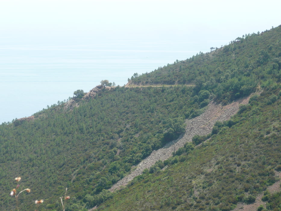
Saint Jean durch Vallon des trois Termes, dort entstand auch das Foto

zürück über N 7 nach Mandelieu

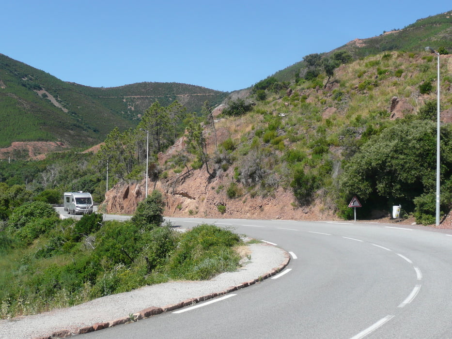
Die Strassen im Esterel sind geteert und häufig nur ausreichend ausgebessert.

Fürs MTB zu gut, fürs Rennrad nicht so gut


Galeria trasy

Mapa trasy i profil wysokości

  • Open Street Map
  • Google
Minimum height 1 m Maximum height 317 m Widok szczegółowy

More about the tour author

arteus
Member since 2009

Send private message

Komentarze

A 8 Sortie

Mandelieu - La Napoule

Start / Depart :  Mandelieu Centre


GPS tracks

Trackpoints
  • GPX / Garmin Map Source (gpx) download
  • TCX / Garmin Training Center® (tcx) download
  • CRS / Garmin Training Center® (crs) download
  • Google Earth (kml) download
  • G7ToWin (g7t) download
  • TTQV (trk) download
  • Overlay (ovl) download
  • Fugawi (txt) download
  • Kompass (DAV) Track (tk) download
  • Karta trasy (pdf) download
  • Original file of the author (gpx) download

More about the tour author

arteus
Member since 2009

Send private message
Share track
Add to my favorites
Remove from my favorites
Edit tags
My score
Rate
Trasa: Esterel
Rodzaj: Rower trekkingowy
Długość: 50,1 km
Evaluated on:
Czas trwania:
Day(s)
Hour(s)
Minute(s)
Ocena: Krajobraz Czynnik zadowolenia Kondycja Technika