


Start ist im kleinen Weiler Champs du Moulin. Wir fahren die schmale Straße am Bahnhof vorbei runter zu einem Parkplatz beim Besucherzentrum. Zunächst auf der nördlichen Seite der Areuse geht der Weg bald in einen Pfad über. Durch die immer enger werdende Schlucht steigen wir auf zur Ferme Robert.
Steil steigen wir weiter auf und erreichen den Höhepunkt der Tour: den Creux du Van. Die U-förmige Feldarena mit ihren hundert Meter senkrecht abfallenden Felswänden ist wirklich sehenswert.
Wir wandern weiter zur gemütlichen Ferme du Soliat und kehren hier natürlich ein. Nach einem kühlen Bierchen steigen wir ab nach Travers. Von hier aus fahren stündlich Züge zurück nach Champs du Moulin. (Fahrpreis 3,40 SFs pro Person; Stand Juli 2009)
Jörn Koberne
Galeria trasy


Mapa trasy i profil wysokości
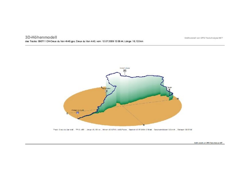
Minimum height 623 m
Maximum height 1464 m
More about the tour author
|
|
Kobi |
Komentarze

Biel - Neuchatel - auf der N 10 Richtung Pontarlier
GPS tracks
Trackpoints-
GPX / Garmin Map Source (gpx) download
-
TCX / Garmin Training Center® (tcx) download
-
CRS / Garmin Training Center® (crs) download
-
Google Earth (kml) download
-
G7ToWin (g7t) download
-
TTQV (trk) download
-
Overlay (ovl) download
-
Fugawi (txt) download
-
Kompass (DAV) Track (tk) download
-
Karta trasy (pdf) download
-
Original file of the author (gpx) download
More about the tour author
|
|
Kobi |
Add to my favorites
Remove from my favorites
Edit tags
Open track
My score
Rate