Niederrheinrunde
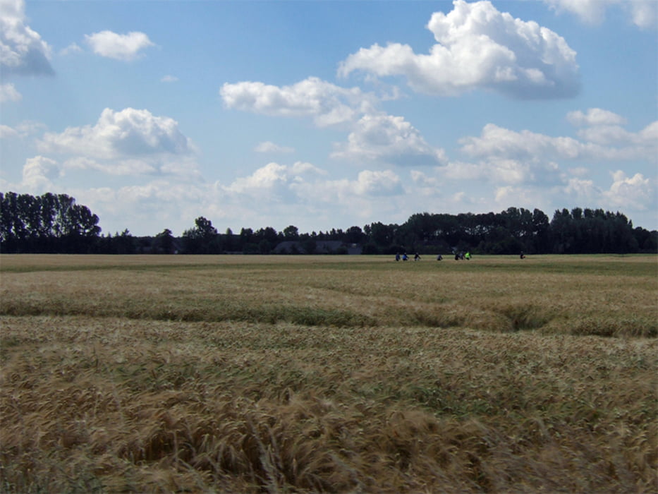
Von der Jugenherberge Xantener Südsee geht es über schöne Feld- und Waldwege nach Kevelaer. Von dort geht es auf ebensolchen schönen Wegen zurück nach Xanten. Kurz vor Xanten geht es bergab über eine Schotterpiste, Vorsicht!
Viel Spass beim Radeln!
Further information at
http://www.xanten.jugendherberge.deMapa trasy i profil wysokości
Minimum height 7 m
Maximum height 67 m
Komentarze

Start und Zielpunkt ist die Jugendherberge Xantener Südsee. Eine modern austgestatte JH mit allem was das Radlerherz begehrt.
GPS tracks
Trackpoints-
GPX / Garmin Map Source (gpx) download
-
TCX / Garmin Training Center® (tcx) download
-
CRS / Garmin Training Center® (crs) download
-
Google Earth (kml) download
-
G7ToWin (g7t) download
-
TTQV (trk) download
-
Overlay (ovl) download
-
Fugawi (txt) download
-
Kompass (DAV) Track (tk) download
-
Karta trasy (pdf) download
-
Original file of the author (gpx) download
Add to my favorites
Remove from my favorites
Edit tags
Open track
My score
Rate

