Login

Zapomniałeś swój login?

Cookies have to be accepted!
Your browser's cookie functionality is disabled. Please enable this functionality.

Not a member yet?

Register now
Login

Available for registred users only

Log in to use this feature.

Zapomniałeś swój login?

Cookies have to be accepted!
Your browser's cookie functionality is disabled. Please enable this functionality.

Not a member yet?

Register now
Filter
Kategorie
Advanced filters
  • Długość (km)
  • Wysokość
Zapisz filtr Reset filter

TrackRank

QRCode

Technical data

Długość37,7 km Wysokość124 m Way down114 m Czas trwania01:50 h:m Data15.07.2009
Oceny Author Krajobraz Czynnik zadowolenia Kondycja Technika

Statystyka

551 Widoki Oceny 107 Downloads / Pliki do pobrania Przeciętnie
Rate
  • Karta trasy
  • Dojazd
  • Downloads / Pliki do pobrania

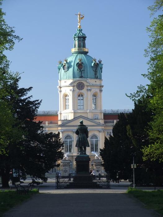
Die Rundtour beginnt und endet am Schloß Charlottenburg in Berlin, kann aber auch von allen anderen Punkten leicht erreicht werdeb.

Die Strecke folgt anfangs dem Fernradweg Berlin-Koenhagen, geht dann aber bald weiter entlang der Havelchaussee richtung Potsdam. Am Ende fährt man über die Avus zurück nach Charlottenburg.

Die Wege sind allesamt gut ausgebau und auch für Rennräder geeignet.

Mapa trasy i profil wysokości

  • Open Street Map
  • Google
Minimum height 24 m Maximum height 73 m Widok szczegółowy

More about the tour author

elemental
Member since 2008

Send private message

Komentarze

Die Tour kann von vershiedenen S- und U-Bahnhöfen leicht erreicht werden.

GPS tracks

Trackpoints
  • GPX / Garmin Map Source (gpx) download
  • TCX / Garmin Training Center® (tcx) download
  • CRS / Garmin Training Center® (crs) download
  • Google Earth (kml) download
  • G7ToWin (g7t) download
  • TTQV (trk) download
  • Overlay (ovl) download
  • Fugawi (txt) download
  • Kompass (DAV) Track (tk) download
  • Karta trasy (pdf) download
  • Original file of the author (gpx) download

More about the tour author

elemental
Member since 2008

Send private message
Share track
Add to my favorites
Remove from my favorites
Edit tags
My score
Rate
Trasa: Spandau - Grunewald - Runde
Rodzaj: Trasy rowerowe
Długość: 37,7 km
Evaluated on:
Czas trwania:
Day(s)
Hour(s)
Minute(s)
Ocena: Krajobraz Czynnik zadowolenia Kondycja Technika