Login

Zapomniałeś swój login?

Cookies have to be accepted!
Your browser's cookie functionality is disabled. Please enable this functionality.

Not a member yet?

Register now
Login

Available for registred users only

Log in to use this feature.

Zapomniałeś swój login?

Cookies have to be accepted!
Your browser's cookie functionality is disabled. Please enable this functionality.

Not a member yet?

Register now
Filter
Kategorie
Advanced filters
  • Długość (km)
  • Wysokość
Zapisz filtr Reset filter

TrackRank

QRCode

Technical data

Długość16,9 km Wysokość285 m Way down303 m Czas trwania03:45 h:m Data19.07.2009
Oceny Author User Krajobraz Czynnik zadowolenia Kondycja Technika

Statystyka

1035 Widoki 1 Ocena 159 Downloads / Pliki do pobrania 4.00 Przeciętnie
Rate
  • Karta trasy
  • Dojazd
  • Downloads / Pliki do pobrania
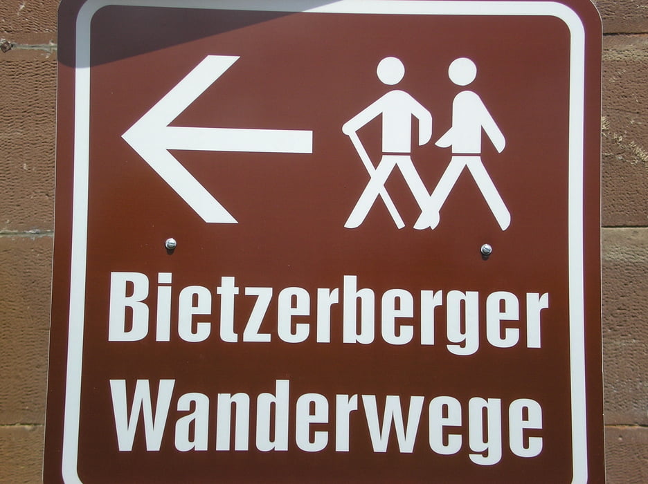
Wir sind gestartet in Fremersdorf. Einstieg erfolgt aber ab Mühlental.
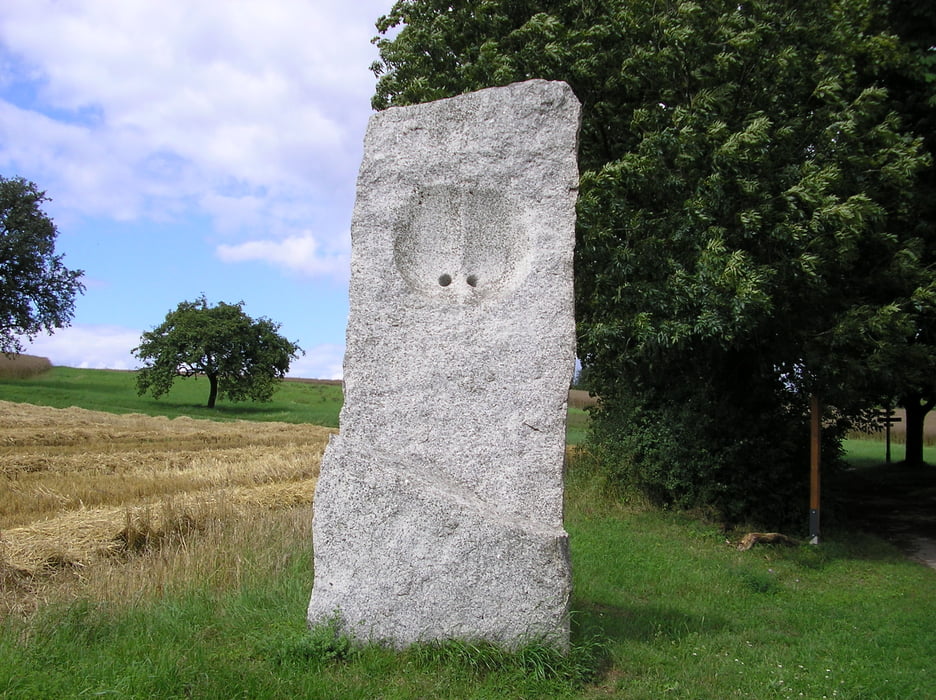
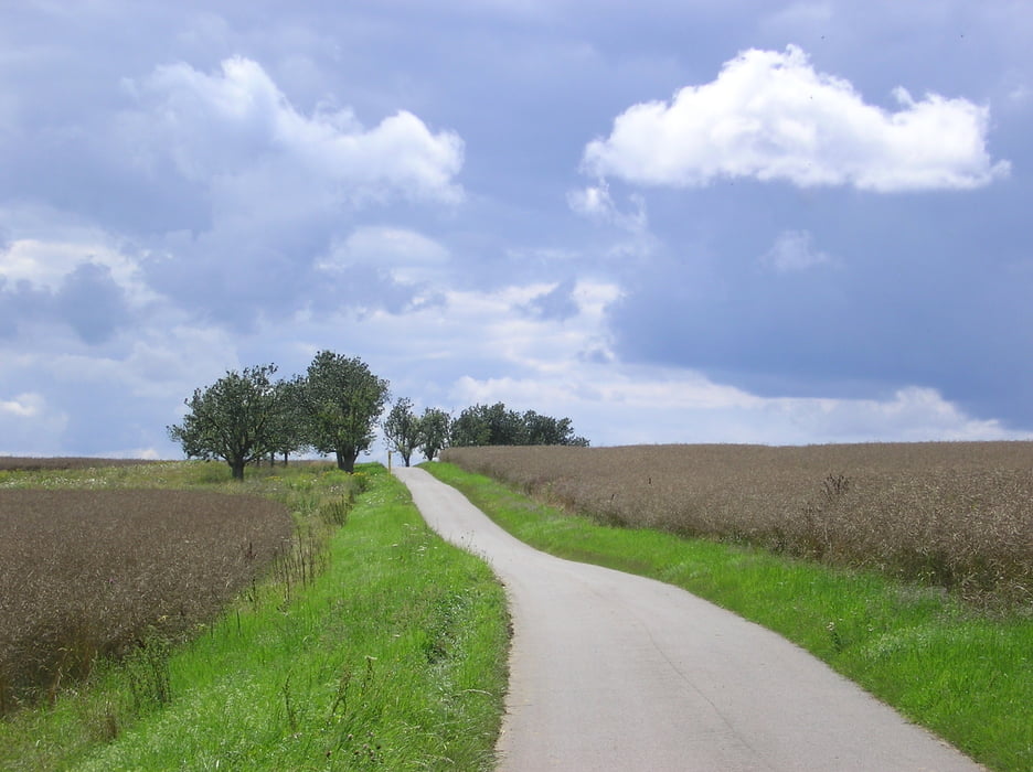
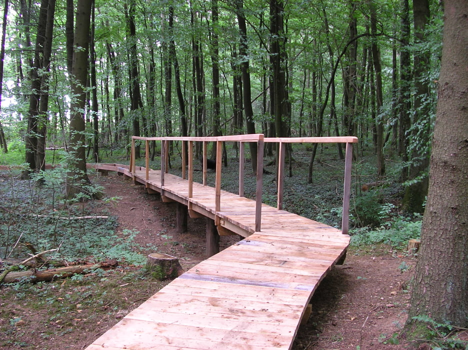
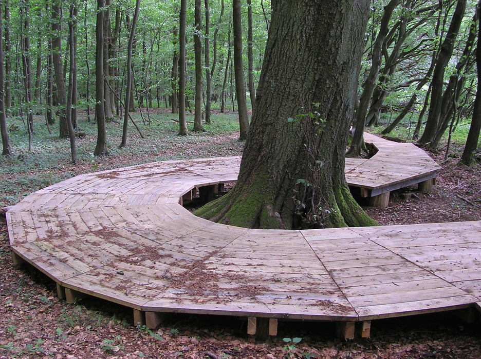
Galeria trasy

Mapa trasy i profil wysokości

  • Open Street Map
  • Google
Minimum height 170 m Maximum height 396 m Widok szczegółowy

More about the tour author

Biker-Tommy
Member since 2009

Send private message

Komentarze

klippenwanderer on 28.06.2012

Wanderung Bietzerberg

Die Tour ist insgesammt 19 km lang. Ich bin sie schon zweimal zu unterschiedlichen Jahreszeiten gelaufen. Ich finde sie sehr abwechslungsreich. Sie bietet tolle Ausblicke (z. B von der Obstplantage aus). Unterwegs finden sich alte Grenzsteine aus dem 17. Jhd. So erfährt man nebenbei noch etwas über die Geschichte der Gegend. Die Tour ist zwar lang aber vom Profil her nicht sonderlich anspruchsvoll. Es ist lediglich eine längere Steigung von 100 HM zu bewältigen. Mein Fazit: empfehlenswert!

GPS tracks

Trackpoints
  • GPX / Garmin Map Source (gpx) download
  • TCX / Garmin Training Center® (tcx) download
  • CRS / Garmin Training Center® (crs) download
  • Google Earth (kml) download
  • G7ToWin (g7t) download
  • TTQV (trk) download
  • Overlay (ovl) download
  • Fugawi (txt) download
  • Kompass (DAV) Track (tk) download
  • Karta trasy (pdf) download
  • Original file of the author (gpx) download

More about the tour author

Biker-Tommy
Member since 2009

Send private message
Share track
Add to my favorites
Remove from my favorites
Edit tags
My score
Rate
Trasa: Bietzerberger Wanderwege
Rodzaj: Wędrówki
Długość: 16,9 km
Evaluated on:
Czas trwania:
Day(s)
Hour(s)
Minute(s)
Ocena: Krajobraz Czynnik zadowolenia Kondycja Technika