Login

Zapomniałeś swój login?

Cookies have to be accepted!
Your browser's cookie functionality is disabled. Please enable this functionality.

Not a member yet?

Register now
Login

Available for registred users only

Log in to use this feature.

Zapomniałeś swój login?

Cookies have to be accepted!
Your browser's cookie functionality is disabled. Please enable this functionality.

Not a member yet?

Register now
Filter
Kategorie
Advanced filters
  • Długość (km)
  • Wysokość
Zapisz filtr Reset filter

TrackRank

QRCode

Technical data

Długość51,5 km Wysokość1267 m Way down1262 m Czas trwania04:00 h:m Data21.07.2009
Oceny Author Krajobraz Czynnik zadowolenia Kondycja Technika

Statystyka

400 Widoki Oceny 87 Downloads / Pliki do pobrania Przeciętnie
Rate
  • Karta trasy
  • Dojazd
  • Downloads / Pliki do pobrania

Es handelt sich um eine landschaftlich sehr schöne und abwechslungsreiche Tour in einer sehr ruhigen Gegend.

Unten am Grenzübergang in Johanngeorgenstadt gibt es super Latte macchiato und fantastischen Kuchen, der den Anstieg hinauf zum Plattenberg versüßt. Oben eine böhmische Imbißbude, die alles weitere hat!
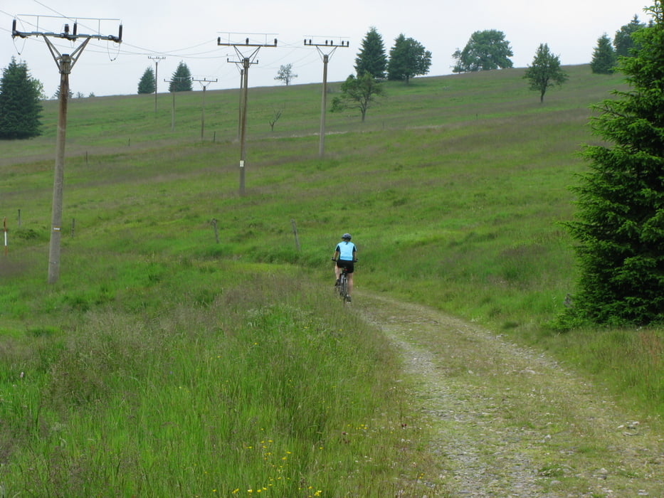
Galeria trasy

Mapa trasy i profil wysokości

  • Open Street Map
  • Google
Minimum height 688 m Maximum height 1050 m Widok szczegółowy

More about the tour author

mauntenbeiker
Member since 2009

Send private message

Komentarze

schraffler on 03.08.2017

Tour gefahren

Tolle Tour, schöne Landschaft, super Wege,
haben die Tour noch durch ein paar Wanderwege erweitert. Als 2 Tages Tour mit Übernachtung in Neuhammer, sehr zu empfehlen.

GPS tracks

Trackpoints
  • GPX / Garmin Map Source (gpx) download
  • TCX / Garmin Training Center® (tcx) download
  • CRS / Garmin Training Center® (crs) download
  • Google Earth (kml) download
  • G7ToWin (g7t) download
  • TTQV (trk) download
  • Overlay (ovl) download
  • Fugawi (txt) download
  • Kompass (DAV) Track (tk) download
  • Karta trasy (pdf) download
  • Original file of the author (gpx) download

More about the tour author

mauntenbeiker
Member since 2009

Send private message
Share track
Add to my favorites
Remove from my favorites
Edit tags
My score
Rate
Trasa: Grenztour Westerzgebirge
Rodzaj: Rower górski (MTB)
Długość: 51,5 km
Evaluated on:
Czas trwania:
Day(s)
Hour(s)
Minute(s)
Ocena: Krajobraz Czynnik zadowolenia Kondycja Technika