
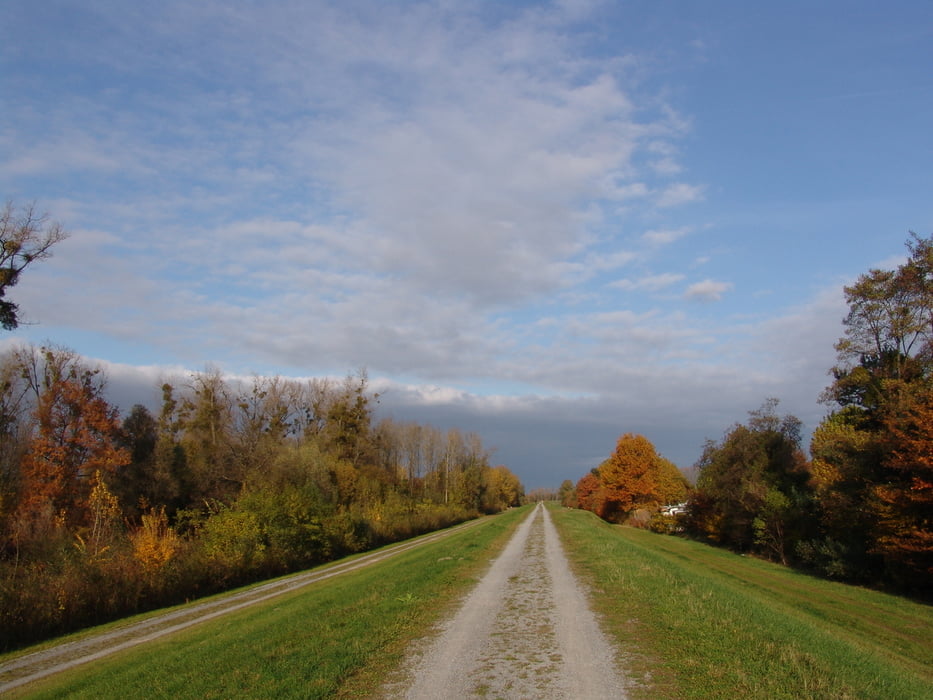

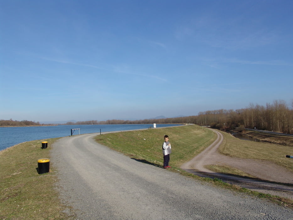
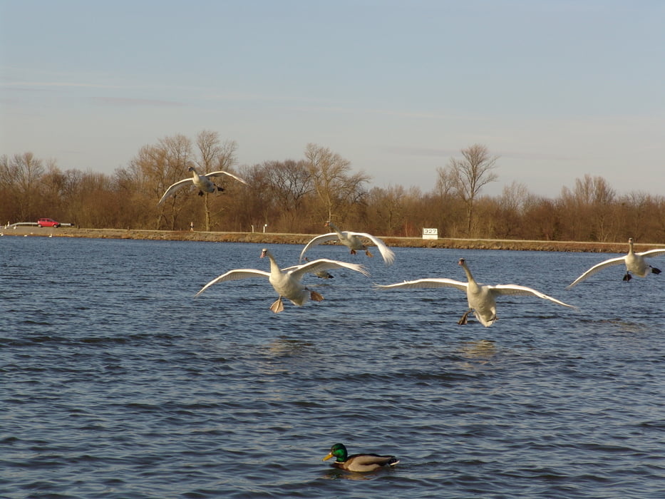
Schöne Tour entlang des Rheines, größtenteils auf dem PAMINA Radweg. In Greffern überqueren Sie den Rhein mit der Fähre um dann auf der elsässischen Seite auf einer breiten, sehr wenig befahrenen Strasse entlang des Rheines zu fahren. Auf der deutschen Seite führt der Radweg überwiegend über gut zu befahrende Feldwege. Auf der Höhe von Iffezheim kann man einen Abstecher zur Staustufe machen. Dort hat man die Möglichkeit im "Rheinstüble" neue Kräfte zu tanken. Alles in allem eine schöne Tour meist Abseits von Verkehrsstrassen.
Viel Spass beim Radeln.
Further information at
http://www.pamina-rheinpark.org/pamina2006/de/route_07.html#karteGaleria trasy
Mapa trasy i profil wysokości
Minimum height 98 m
Maximum height 248 m
More about the tour author

|
Cube1971 |
Komentarze

GPS tracks
Trackpoints-
GPX / Garmin Map Source (gpx) download
-
TCX / Garmin Training Center® (tcx) download
-
CRS / Garmin Training Center® (crs) download
-
Google Earth (kml) download
-
G7ToWin (g7t) download
-
TTQV (trk) download
-
Overlay (ovl) download
-
Fugawi (txt) download
-
Kompass (DAV) Track (tk) download
-
Karta trasy (pdf) download
-
Original file of the author (gpx) download
More about the tour author
|
|
Cube1971 |
Add to my favorites
Remove from my favorites
Edit tags
Open track
My score
Rate