
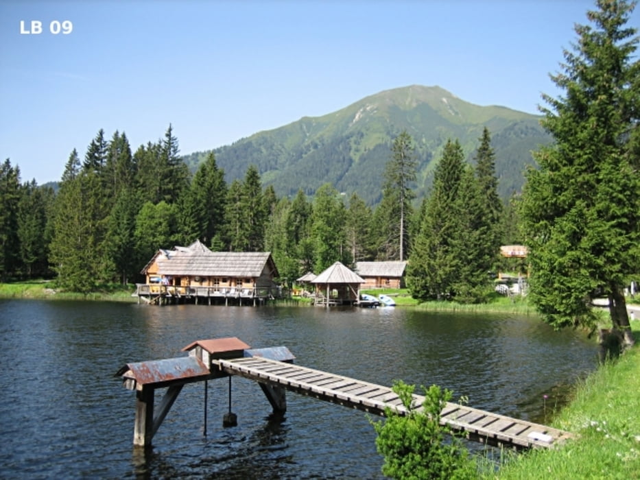

Die MTB - Tour Weberberg führt uns ebenfalls vom Loipenzentrum in Hohentauern aus auf den Weberberg, der auf der östlichen Seite von Hohentauern liegt. Am Weberberg tummeln sich im Winter die Skifahrer im Skigebiet Hohentauern. Neben den Skipisten erreicht man nach 5,6 Kilometer eine Höhe von 1679m. Am höchsten Punkt dieser MTB - Tour hat man einen ausgezeichneten Ausblick auf Hohentauern und die umliegenden Berge.
Weitere Infos, Fotos und Videos zu dieser Mountainbike Tour in Hohentauern / Steiermark findest du auf
biketours4you.at
Mapa trasy i profil wysokości
Minimum height 1189 m
Maximum height 1680 m
More about the tour author
|
|
Trek1400d |
Komentarze

GPS tracks
Trackpoints-
GPX / Garmin Map Source (gpx) download
-
TCX / Garmin Training Center® (tcx) download
-
CRS / Garmin Training Center® (crs) download
-
Google Earth (kml) download
-
G7ToWin (g7t) download
-
TTQV (trk) download
-
Overlay (ovl) download
-
Fugawi (txt) download
-
Kompass (DAV) Track (tk) download
-
Karta trasy (pdf) download
-
Original file of the author (gpx) download
More about the tour author
|
|
Trek1400d |
Add to my favorites
Remove from my favorites
Edit tags
Open track
My score
Rate