Login

Zapomniałeś swój login?

Cookies have to be accepted!
Your browser's cookie functionality is disabled. Please enable this functionality.

Not a member yet?

Register now
Login

Available for registred users only

Log in to use this feature.

Zapomniałeś swój login?

Cookies have to be accepted!
Your browser's cookie functionality is disabled. Please enable this functionality.

Not a member yet?

Register now
Filter
Kategorie
Advanced filters
  • Długość (km)
  • Wysokość
Zapisz filtr Reset filter

TrackRank

QRCode

Technical data

Długość13,9 km Wysokość867 m Way down832 m Czas trwania00:45 h:m Data24.07.2009
Oceny Author Krajobraz Czynnik zadowolenia Kondycja Technika

Statystyka

143 Widoki Oceny 8 Downloads / Pliki do pobrania Przeciętnie
Rate
  • Karta trasy
  • Dojazd
  • Downloads / Pliki do pobrania
Bahnhof Mudau - Galgen Mudau - Golfplatz Mudau - Untermudau - Mudau - Bahnhof Mudau

Further information at
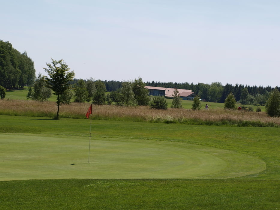
http://www.Faszination-Mudau.de

Galeria trasy

Mapa trasy i profil wysokości

  • Open Street Map
  • Google
Minimum height 358 m Maximum height 752 m Widok szczegółowy

More about the tour author

smg
Member since 2009

Send private message

Komentarze

69427 Mudau

Start und Ziel der Tour Kreisverkehr am "Alten Bahnhof"

Genügend Parkplätze vorhanden.

GPS tracks

Trackpoints
  • GPX / Garmin Map Source (gpx) download
  • TCX / Garmin Training Center® (tcx) download
  • CRS / Garmin Training Center® (crs) download
  • Google Earth (kml) download
  • G7ToWin (g7t) download
  • TTQV (trk) download
  • Overlay (ovl) download
  • Fugawi (txt) download
  • Kompass (DAV) Track (tk) download
  • Karta trasy (pdf) download
  • Original file of the author (gpx) download

More about the tour author

smg
Member since 2009

Send private message
Share track
Add to my favorites
Remove from my favorites
Edit tags
My score
Rate
Trasa: Rund um Mudau_M
Rodzaj: Rower trekkingowy
Długość: 13,9 km
Evaluated on:
Czas trwania:
Day(s)
Hour(s)
Minute(s)
Ocena: Krajobraz Czynnik zadowolenia Kondycja Technika