
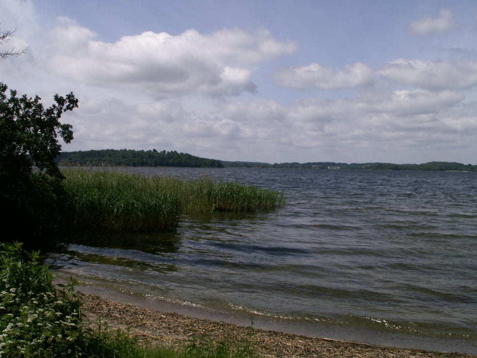

Sehr schöne Tour, die gleich nach dem Start am Bungsberg vorbeiläuft und auf wenig befahrenen Strassen, Wegen und Radwegen verläuft.
In Eutin kann man sich auf dem Marktplatz in den verschiedenen Restaurants und Cafés hervorragend stärken, bevor es am Eutiner Schloßß vorbei geht.
Further information at
http://www.eich-hof.de/Galeria trasy


Mapa trasy i profil wysokości
Minimum height -16 m
Maximum height 154 m
More about the tour author
|
|
Harm |
Komentarze

Der Start ist in Mönchneversdorf, einem kleinen Ort in Ostholstein und eben direkt am Bungsberg. Man könnte auch in Eutin starten.
Wir haben auf einem Bauernhof in der Nähe Urlaub gemacht und deshalb diese Route gewählt.
GPS tracks
Trackpoints-
GPX / Garmin Map Source (gpx) download
-
TCX / Garmin Training Center® (tcx) download
-
CRS / Garmin Training Center® (crs) download
-
Google Earth (kml) download
-
G7ToWin (g7t) download
-
TTQV (trk) download
-
Overlay (ovl) download
-
Fugawi (txt) download
-
Kompass (DAV) Track (tk) download
-
Karta trasy (pdf) download
-
Original file of the author (gpx) download
More about the tour author
|
|
Harm |
Add to my favorites
Remove from my favorites
Edit tags
Open track
My score
Rate