
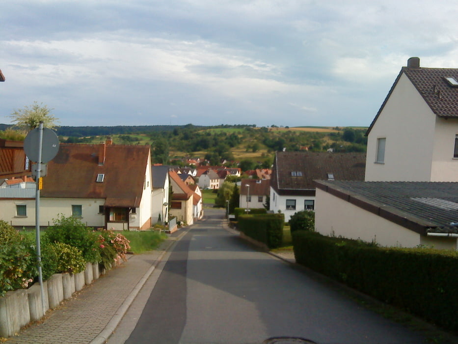

Schöne Runde um den Feierabend einzuläuten. Ich bin häufiger in Großwallstadt im Handballleistungszentrum des TSV untergebracht und war auf der Suche nach einer Runde, die man mal kurz abfahren kann.
Sie verläuft immer auf gut ausgebauten Teerstrassen. In Obernburg bin ich wegen der Steigungen in die Wohnstrassen eingebogen, damit ich als Flachlandtiroler ach mal erlebe was Steigungen sind.
Further information at
http://www.sportpark-grosswallstadt.de/Galeria trasy


Mapa trasy i profil wysokości
Minimum height 116 m
Maximum height 303 m
More about the tour author
|
|
Harm |
Komentarze

Der Start ist das Handballleistungszemtrum in Großwallstadt. Das Zentrum bietet sehr viele Parkplätze und ist sehr gut mit dem Auto zu erreichen.
GPS tracks
Trackpoints-
GPX / Garmin Map Source (gpx) download
-
TCX / Garmin Training Center® (tcx) download
-
CRS / Garmin Training Center® (crs) download
-
Google Earth (kml) download
-
G7ToWin (g7t) download
-
TTQV (trk) download
-
Overlay (ovl) download
-
Fugawi (txt) download
-
Kompass (DAV) Track (tk) download
-
Karta trasy (pdf) download
-
Original file of the author (gpx) download
More about the tour author
|
|
Harm |
Add to my favorites
Remove from my favorites
Edit tags
Open track
My score
Rate