Login

Zapomniałeś swój login?

Cookies have to be accepted!
Your browser's cookie functionality is disabled. Please enable this functionality.

Not a member yet?

Register now
Login

Available for registred users only

Log in to use this feature.

Zapomniałeś swój login?

Cookies have to be accepted!
Your browser's cookie functionality is disabled. Please enable this functionality.

Not a member yet?

Register now
Filter
Kategorie
Advanced filters
  • Długość (km)
  • Wysokość
Zapisz filtr Reset filter

TrackRank

QRCode

Technical data

Długość205,2 km Wysokość2849 m Way down2851 m Czas trwania00:00 h:m Data27.07.2009
Oceny Author Krajobraz Czynnik zadowolenia Kondycja Technika

Statystyka

218 Widoki Oceny 41 Downloads / Pliki do pobrania Przeciętnie
Rate
  • Karta trasy
  • Dojazd
  • Downloads / Pliki do pobrania

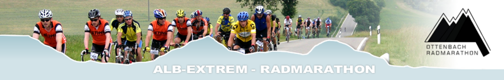
Dieser Track dokumentiert die kleine Runde der Alb-Extrem RFT Tour vom 26.7.2009.

Der Track beginnt direkt am Hotel und endet auch dort. Hotel kann weiterempfohlen werden (bikerfreundlich) - www.loewen-suessen.de.

Die Organisation der Alb-extrem RTF ist hervorragend, der Kostenbeitrag angemessen, Verpflegung sehr gut und ausreichend :-).

Further information at

http://www.albextrem.de/

Mapa trasy i profil wysokości

  • Open Street Map
  • Google
Minimum height 311 m Maximum height 730 m Widok szczegółowy

More about the tour author

tloewenb
Member since 2003

Send private message

Komentarze

GPS tracks

Trackpoints
  • GPX / Garmin Map Source (gpx) download
  • TCX / Garmin Training Center® (tcx) download
  • CRS / Garmin Training Center® (crs) download
  • Google Earth (kml) download
  • G7ToWin (g7t) download
  • TTQV (trk) download
  • Overlay (ovl) download
  • Fugawi (txt) download
  • Kompass (DAV) Track (tk) download
  • Karta trasy (pdf) download
  • Original file of the author (gpx) download

More about the tour author

tloewenb
Member since 2003

Send private message
Share track
Add to my favorites
Remove from my favorites
Edit tags
My score
Rate
Trasa: Albextrem 2009
Rodzaj: Rower szosowy
Długość: 205,2 km
Evaluated on:
Czas trwania:
Day(s)
Hour(s)
Minute(s)
Ocena: Krajobraz Czynnik zadowolenia Kondycja Technika