
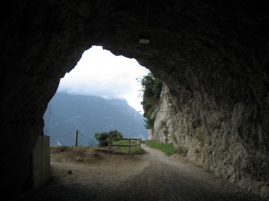

Sehr schöne Panoramatour mit knackigen Abfahrten.
Es geht über die wunderschöne alte Ponale Straße hoch zum Lago di Ledro und dann bewegt man sich auf einer der schönsten Panoramastraßen des Gardasees.
Galeria trasy


Mapa trasy i profil wysokości
Minimum height 22 m
Maximum height 1829 m
More about the tour author
|
|
quest3581 |
Komentarze
GPS tracks
Trackpoints-
GPX / Garmin Map Source (gpx) download
-
TCX / Garmin Training Center® (tcx) download
-
CRS / Garmin Training Center® (crs) download
-
Google Earth (kml) download
-
G7ToWin (g7t) download
-
TTQV (trk) download
-
Overlay (ovl) download
-
Fugawi (txt) download
-
Kompass (DAV) Track (tk) download
-
Karta trasy (pdf) download
-
Original file of the author (gpx) download
More about the tour author
|
|
quest3581 |
Add to my favorites
Remove from my favorites
Edit tags
Open track
My score
Rate
Also ich fahre wikrlich sehr gut und nehme Bergab wirklich fast alles mit, aber hier hat der Spaß ein Ende.
Positiv: Bis zur Tremalzospitze eine wirklich gelungen und schöne Tour.
Negativ:
- Bei mir waren es am Ende doch 2200 - 2300 HM
- Es müssen ca. 500 HM Bergab getragen oder geschoben werden. Diese Passagen sind wirklich nur für Downhillfreaks mit kompletter Schutzausrüstung und den entsprechenden Downhillbikes mit Fahrtechnik bezwingbar.
- Wenn man an der den Tremalzopass bezwungen hat solle man noch einige Kraftreseven haben. Ab hier liegen noch einmal ca. 200 sehr anstregende Höhenmeter versteckt. Auch Bergab nicht sehr erholsam.
Fazit:
Bessere Abfahrt vom Tremalzo und die Tour bekommt von mir 4 Sterne. Die Abfahrt macht jedoch die Tour zum "Höllentrip"