

Eigentlich eine reine Konditionstour mit einigen gut fahrbaren Trails. Um den Aufstieg ins Heutal auszusparen habe ich direkt dort begonnen indem ich mich dorthin habe fahren lassen.
Unspektakulär auf Forstwegen über Winkelmoos und das zugehörige Skigebiet bis hinauf auf 1560 Hm. Die Abfahrt ist teils trailig. Einige Abstecher habe ich vom Track gemacht um das Gebiet ein wenig zu erkunden, das ich aus früheren Jahren vom Skifahren her noch kenne.
Von Seegatterl geht es elendig lang bis zum Holzknechtmuseum, um dort den immer steiler werdenden Aufstieg zur Kaitlalm zu nehmen. Die Einkehr beim Sepp sollte auf jeden Fall erfolgen ... ;-)
Über Reiteralm und einen letzten Trail dann hinab nach Weißbach und über den Radweg nach Inzell.
Viel Spaß beim Nachfahren!
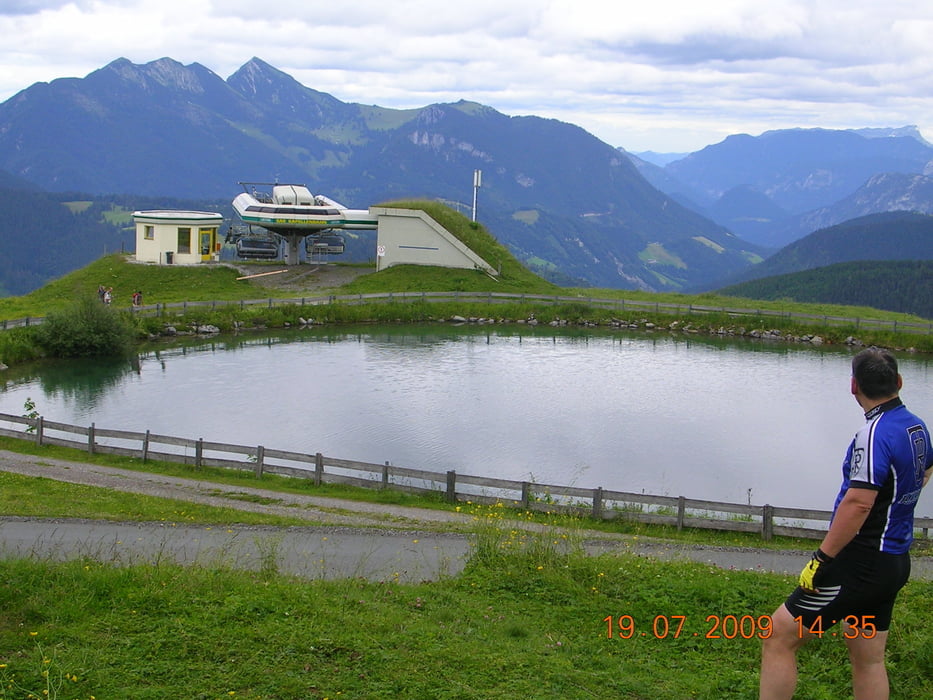
Galeria trasy


Mapa trasy i profil wysokości
Minimum height 622 m
Maximum height 1542 m
More about the tour author

|
ralfomat |
Komentarze

Heutal, letzter Parkplatz.
GPS tracks
Trackpoints-
GPX / Garmin Map Source (gpx) download
-
TCX / Garmin Training Center® (tcx) download
-
CRS / Garmin Training Center® (crs) download
-
Google Earth (kml) download
-
G7ToWin (g7t) download
-
TTQV (trk) download
-
Overlay (ovl) download
-
Fugawi (txt) download
-
Kompass (DAV) Track (tk) download
-
Karta trasy (pdf) download
-
Original file of the author (gpx) download
More about the tour author
|
|
ralfomat |
Add to my favorites
Remove from my favorites
Edit tags
Open track
My score
Rate