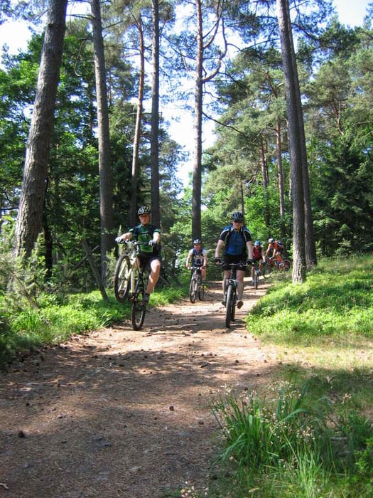
Pfadabdeckung ca. 70%;
mit dabei neben dem ueblichen Geplaenkel 3 lange Downhills a 4 Km; 2
saftige Uphills auf die Highlights Kalmit (672m) und Weinbiet (554m).
Auftankmoeglichkeiten in Neustadt und Lambrecht sowie an diversen
Huetten unterwegs.
mit dabei neben dem ueblichen Geplaenkel 3 lange Downhills a 4 Km; 2
saftige Uphills auf die Highlights Kalmit (672m) und Weinbiet (554m).
Auftankmoeglichkeiten in Neustadt und Lambrecht sowie an diversen
Huetten unterwegs.
Further information at
http://www.biketreff-niefern.deGaleria trasy
Mapa trasy i profil wysokości
Minimum height 145 m
Maximum height 674 m
Komentarze
Startpunkt ist ein Parkplatz bei Edenkoben.
Koordinaten: N49 17.024 E8 04.895 Höhe 252m in der Klosterstr. in Triefenbach vor einem Gasthof
Koordinaten: N49 17.024 E8 04.895 Höhe 252m in der Klosterstr. in Triefenbach vor einem Gasthof
GPS tracks
Trackpoints-
GPX / Garmin Map Source (gpx) download
-
TCX / Garmin Training Center® (tcx) download
-
CRS / Garmin Training Center® (crs) download
-
Google Earth (kml) download
-
G7ToWin (g7t) download
-
TTQV (trk) download
-
Overlay (ovl) download
-
Fugawi (txt) download
-
Kompass (DAV) Track (tk) download
-
Karta trasy (pdf) download
-
Original file of the author (g7t) download
Add to my favorites
Remove from my favorites
Edit tags
Open track
My score
Rate


****Super Spaß gehabt****
für eine Mittelgebirgstour ist diese Rundtour mit Ihren super Trails absolute Spitze.
Kalmit, Weinbiet
pfalzfan aus Neustadt an der Weinstraße
Super Tour, aber...
Aber sonst geniale Tour!