


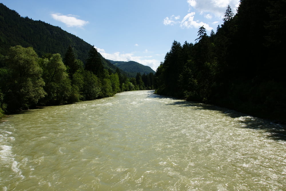
Vom Gitschberg Lift läuft man als Erstes in Richtung Orstmitte (1400m). Hier geht ein kleiner Personenlift (max 12.) nach Mühlbach hinab. In Mühlbach (777m) geht es am Rienz entlang vorbei an der Mühlbacher Klause (Alte Festung auf 753m) nach Vintl (Wanderweg 10). Danach erfolgt ein steiler Aufstieg und der Rückmarsch nach Meransen (Wanderweg 11).
Further information at
http://www.pustertal.org/Galeria trasy

Mapa trasy i profil wysokości
Minimum height 718 m
Maximum height 1443 m
More about the tour author
|
|
Zerberster |
Komentarze

Vom Brenner aus kommend in Richtung Rio di Pusteria fahren (Autobahnabfahrt Brixen). Dann den Abzweig nach Mühlbach nehmen und im Ort Richtung Meransen (Maranza) abbiegen und Richtung Lift fahren. Großer Parkplatz ist vorhanden.
GPS tracks
Trackpoints-
GPX / Garmin Map Source (gpx) download
-
TCX / Garmin Training Center® (tcx) download
-
CRS / Garmin Training Center® (crs) download
-
Google Earth (kml) download
-
G7ToWin (g7t) download
-
TTQV (trk) download
-
Overlay (ovl) download
-
Fugawi (txt) download
-
Kompass (DAV) Track (tk) download
-
Karta trasy (pdf) download
-
Original file of the author (gpx) download
More about the tour author
|
|
Zerberster |
Add to my favorites
Remove from my favorites
Edit tags
Open track
My score
Rate