Login

Zapomniałeś swój login?

Cookies have to be accepted!
Your browser's cookie functionality is disabled. Please enable this functionality.

Not a member yet?

Register now
Login

Available for registred users only

Log in to use this feature.

Zapomniałeś swój login?

Cookies have to be accepted!
Your browser's cookie functionality is disabled. Please enable this functionality.

Not a member yet?

Register now
Filter
Kategorie
Advanced filters
  • Długość (km)
  • Wysokość
Zapisz filtr Reset filter

TrackRank

QRCode

Technical data

Długość72,3 km Wysokość239 m Way down232 m Czas trwania03:00 h:m Data31.07.2009
Oceny Author Krajobraz Czynnik zadowolenia Kondycja Technika

Statystyka

351 Widoki Oceny 76 Downloads / Pliki do pobrania Przeciętnie
Rate
  • Karta trasy
  • Dojazd
  • Downloads / Pliki do pobrania

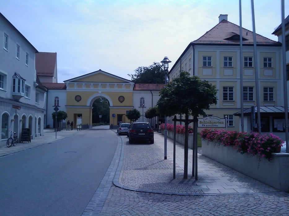
Tolle Tour im Westen von Landsberg.

Es geht über Igling - Schwabmühlhausen - Ettringen - Türkheim - Bad Wörrishofen - Schlingen - Waal zurück nach Landsberg.

Auf der Strecke liegen einige Sehenswürdigkeiten, man muss sie ja nicht in 3h fahren! :)
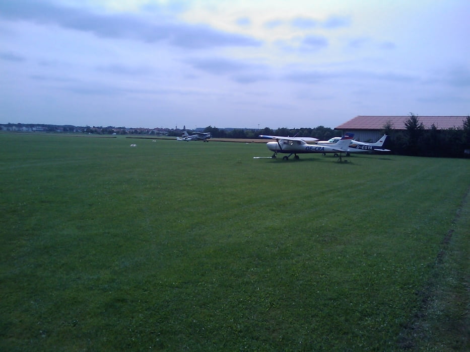
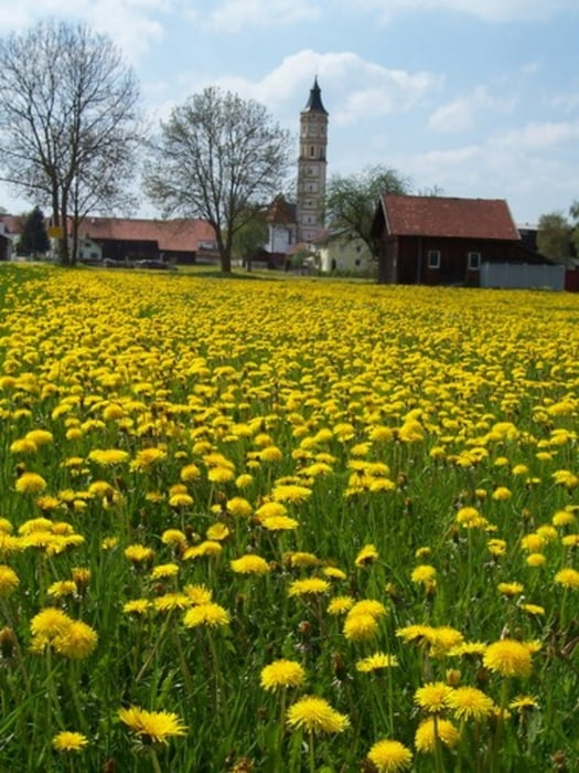
 

Galeria trasy

Mapa trasy i profil wysokości

  • Open Street Map
  • Google
Minimum height 617 m Maximum height 720 m Widok szczegółowy

More about the tour author

mrwaxx
Member since 2008

Send private message

Komentarze

Mein Start und Ziel ist wie immer die Feuerwehr in Landsberg.

Praktische kann man aber an jeder anderen Stelle auch einsteigen.

GPS tracks

Trackpoints
  • GPX / Garmin Map Source (gpx) download
  • TCX / Garmin Training Center® (tcx) download
  • CRS / Garmin Training Center® (crs) download
  • Google Earth (kml) download
  • G7ToWin (g7t) download
  • TTQV (trk) download
  • Overlay (ovl) download
  • Fugawi (txt) download
  • Kompass (DAV) Track (tk) download
  • Karta trasy (pdf) download
  • Original file of the author (gpx) download

More about the tour author

mrwaxx
Member since 2008

Send private message
Share track
Add to my favorites
Remove from my favorites
Edit tags
My score
Rate
Trasa: Westrunde IV
Rodzaj: Rower szosowy
Długość: 72,3 km
Evaluated on:
Czas trwania:
Day(s)
Hour(s)
Minute(s)
Ocena: Krajobraz Czynnik zadowolenia Kondycja Technika