

Eine der Schösten MTB Touren in dieser Region (Asphalt,Forststraße,Trails)
Von Timelkam nach Seewalchen-Attersee-Unterach-Burgau (Parkplatz rechts Auf der Forststrasse zur) Moosalm hinauf-Links zum Schwarzensee hinunter-Zwischen GH Lore und Almstadel den Wanderweg Nach St.Wolfgang hinunter-Ried-Hinauf auf den Falkenstein-hinunter nach Fürberg-Aich-am Krotensee vorbei-auf der B154 auf die Schaflinger Höhe-nach ca.1,5 bis 2km Abfahrt rechts hinauf zur Eisenau-hinunter zur Moosalm-weiter nach Burgau-rechts nach Steinbach-Seewalchen-Timelkam.
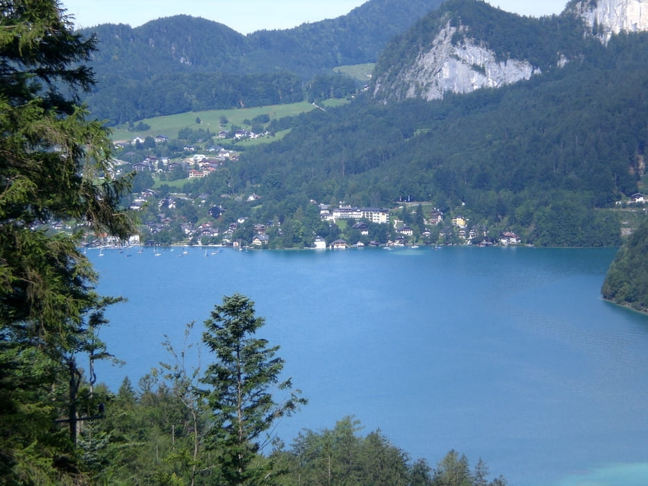
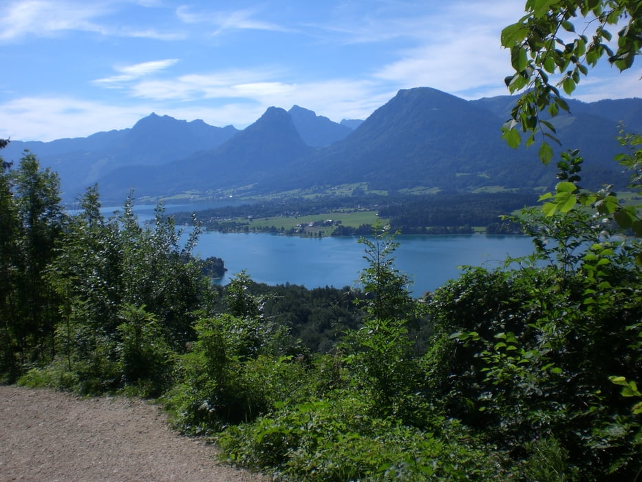
Galeria trasy


Mapa trasy i profil wysokości
Minimum height 455 m
Maximum height 1006 m
More about the tour author
|
|
jopet |
Komentarze

GPS tracks
Trackpoints-
GPX / Garmin Map Source (gpx) download
-
TCX / Garmin Training Center® (tcx) download
-
CRS / Garmin Training Center® (crs) download
-
Google Earth (kml) download
-
G7ToWin (g7t) download
-
TTQV (trk) download
-
Overlay (ovl) download
-
Fugawi (txt) download
-
Kompass (DAV) Track (tk) download
-
Karta trasy (pdf) download
-
Original file of the author (gpx) download
More about the tour author
|
|
jopet |
Add to my favorites
Remove from my favorites
Edit tags
Open track
My score
Rate