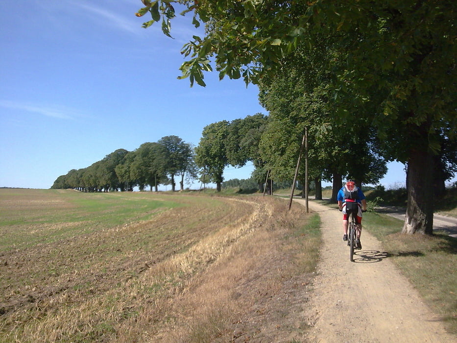
Plau am see – quetzin – karower meiler – alt schwerin – jürgenshof – lenz – malchow - lenzer höhen trail - zislow – suckow – bad stuer – seelust – plötzenhöhe – plau am see
Further information at
http://www.hegibiketours.deGaleria trasy
Mapa trasy i profil wysokości
Minimum height 52 m
Maximum height 83 m
Komentarze
Start der Tour auf der Eldebrücke der B103 in Plau am See
GPS tracks
Trackpoints-
GPX / Garmin Map Source (gpx) download
-
TCX / Garmin Training Center® (tcx) download
-
CRS / Garmin Training Center® (crs) download
-
Google Earth (kml) download
-
G7ToWin (g7t) download
-
TTQV (trk) download
-
Overlay (ovl) download
-
Fugawi (txt) download
-
Kompass (DAV) Track (tk) download
-
Karta trasy (pdf) download
-
Original file of the author (gpx) download
Add to my favorites
Remove from my favorites
Edit tags
Open track
My score
Rate


Tour
bin am WE in Bad Stuer und habe mir deinen Track auf mein Garmin geladen....bin gespannt, ob es auch funktioniert....
Außerdem natürlich noch einige Caches rund um den See... ;-))
Bis dann
Andrea