Tag 1 ist Tour 41688
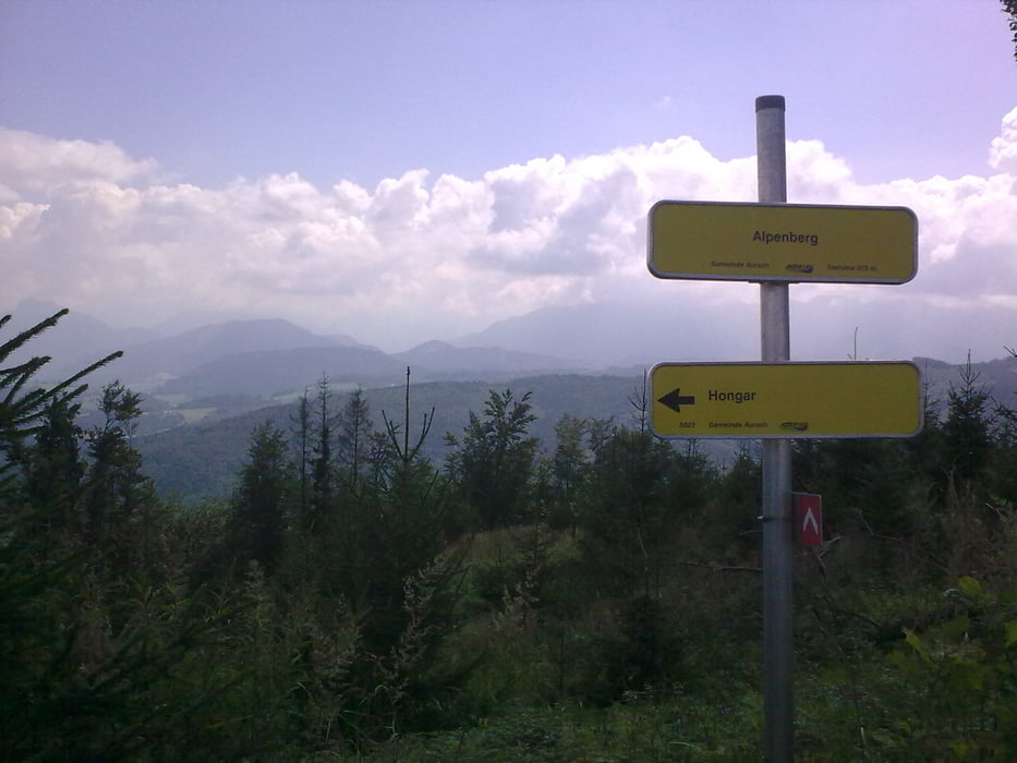
gemütliches einrollen entlang dem Attersee, der steile Anstieg von Bach auf Miglberg kann auch umfahren werden, weiter über Schaffling zur Kreuzingalm (Ghf) übern Hongar und bergab übern Kronberg wer es nicht zu steil mag sollte dies auch umfahren .-) das letzte Hügelchen über Ehrendorf nach Ohlsdorf und dann gehts dem Traunradweg übern Traunfall (Steckerfisch) leicht bergab Richtung Wels.
Further information at
http://kerschhuber.astronomie.at//index.htmGaleria trasy
Mapa trasy i profil wysokości
Minimum height 157 m
Maximum height 1008 m
Komentarze

Salzburg Hbf / Wels Hbf
GPS tracks
Trackpoints-
GPX / Garmin Map Source (gpx) download
-
TCX / Garmin Training Center® (tcx) download
-
CRS / Garmin Training Center® (crs) download
-
Google Earth (kml) download
-
G7ToWin (g7t) download
-
TTQV (trk) download
-
Overlay (ovl) download
-
Fugawi (txt) download
-
Kompass (DAV) Track (tk) download
-
Karta trasy (pdf) download
-
Original file of the author (gpx) download
Add to my favorites
Remove from my favorites
Edit tags
Open track
My score
Rate


