Login

Zapomniałeś swój login?

Cookies have to be accepted!
Your browser's cookie functionality is disabled. Please enable this functionality.

Not a member yet?

Register now
Login

Available for registred users only

Log in to use this feature.

Zapomniałeś swój login?

Cookies have to be accepted!
Your browser's cookie functionality is disabled. Please enable this functionality.

Not a member yet?

Register now
Filter
Kategorie
Advanced filters
  • Długość (km)
  • Wysokość
Zapisz filtr Reset filter

TrackRank

QRCode

Technical data

Długość59,8 km Wysokość397 m Way down398 m Czas trwania03:00 h:m Data08.08.2009
Oceny Author Krajobraz Czynnik zadowolenia Kondycja Technika

Statystyka

236 Widoki Oceny 25 Downloads / Pliki do pobrania Przeciętnie
Rate
  • Karta trasy
  • Dojazd
  • Downloads / Pliki do pobrania

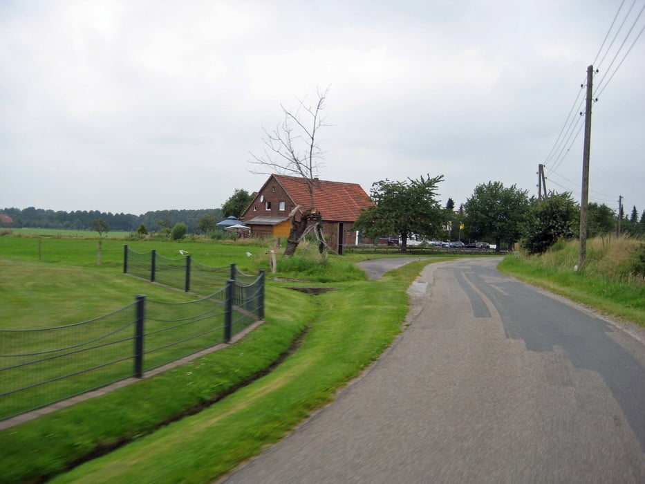
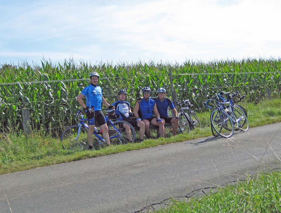
Landschaftlich sehr schöne Runde durch viel Grün. Am Anfang fährt man ( leider )noch über eine größere Strasse , um ins Grüne zu kommen. Die Gegend ändert sich aber schnell und man fährt durch grüne Landschaften. Eine Bank auf einer Anhöhe markiert die Hälfte der Runde und lädt zur Pause ein. Eine Runde meines Freundes Stefan, die ich Ihm gewidmet habe, weil er diese schöne Runde ausfindig gemacht hat.

Ich freue mich über jedes positive Voting !!!

Galeria trasy

Mapa trasy i profil wysokości

  • Open Street Map
  • Google
Minimum height 8 m Maximum height 74 m Widok szczegółowy

More about the tour author

Hallo-Andre
Member since 2008

Send private message

Komentarze

GPS tracks

Trackpoints
  • GPX / Garmin Map Source (gpx) download
  • TCX / Garmin Training Center® (tcx) download
  • CRS / Garmin Training Center® (crs) download
  • Google Earth (kml) download
  • G7ToWin (g7t) download
  • TTQV (trk) download
  • Overlay (ovl) download
  • Fugawi (txt) download
  • Kompass (DAV) Track (tk) download
  • Karta trasy (pdf) download
  • Original file of the author (gpx) download

More about the tour author

Hallo-Andre
Member since 2008

Send private message
Share track
Add to my favorites
Remove from my favorites
Edit tags
My score
Rate
Trasa: Stefans Runde
Rodzaj: Rower szosowy
Długość: 59,8 km
Evaluated on:
Czas trwania:
Day(s)
Hour(s)
Minute(s)
Ocena: Krajobraz Czynnik zadowolenia Kondycja Technika