Login

Zapomniałeś swój login?

Cookies have to be accepted!
Your browser's cookie functionality is disabled. Please enable this functionality.

Not a member yet?

Register now
Login

Available for registred users only

Log in to use this feature.

Zapomniałeś swój login?

Cookies have to be accepted!
Your browser's cookie functionality is disabled. Please enable this functionality.

Not a member yet?

Register now
Filter
Kategorie
Advanced filters
  • Długość (km)
  • Wysokość
Zapisz filtr Reset filter

TrackRank

QRCode

Technical data

Długość15,3 km Wysokość423 m Way down385 m Czas trwania03:45 h:m Data08.08.2009
Oceny Author Krajobraz Czynnik zadowolenia Kondycja Technika

Statystyka

1128 Widoki Oceny 257 Downloads / Pliki do pobrania Przeciętnie
Rate
  • Karta trasy
  • Dojazd
  • Downloads / Pliki do pobrania
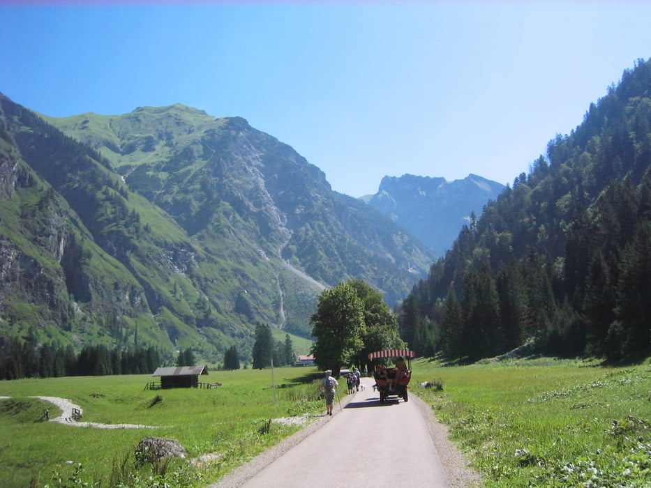
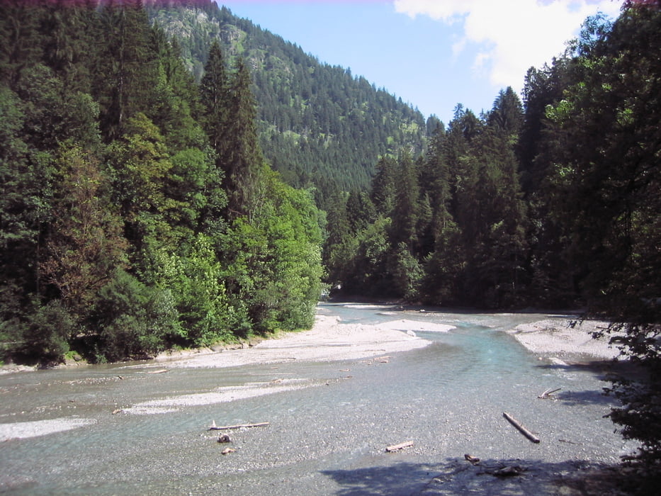
Schöne Tour ins Oytal hinein, wo wir dann eigentlich über den Gleitweg aufs Nebelhorn wandern wollten. Wie an den Höhenmetern unschwer zu erkennen ist, sind wir lediglich auf 1200 Meter gekommen, weil eine Mitwanderin bei sehr ausgesetzten Stellen ihre Höhenangst nicht überwinden konnte. Unten angekommen haben wir zum Ausgleich erst einmal eine zünftige Brotzeit absolviert, um dann dem schönen Oybach entlang zum Ausgangspunkt zurück zu wandern.

Galeria trasy

Mapa trasy i profil wysokości

  • Open Street Map
  • Google
Minimum height 804 m Maximum height 1230 m Widok szczegółowy

More about the tour author

Guddy
Member since 2009

Send private message

Komentarze

GPS tracks

Trackpoints
  • GPX / Garmin Map Source (gpx) download
  • TCX / Garmin Training Center® (tcx) download
  • CRS / Garmin Training Center® (crs) download
  • Google Earth (kml) download
  • G7ToWin (g7t) download
  • TTQV (trk) download
  • Overlay (ovl) download
  • Fugawi (txt) download
  • Kompass (DAV) Track (tk) download
  • Karta trasy (pdf) download
  • Original file of the author (gpx) download

More about the tour author

Guddy
Member since 2009

Send private message
Share track
Add to my favorites
Remove from my favorites
Edit tags
My score
Rate
Trasa: Rundwanderung Oytal
Rodzaj: Wędrówki
Długość: 15,3 km
Evaluated on:
Czas trwania:
Day(s)
Hour(s)
Minute(s)
Ocena: Krajobraz Czynnik zadowolenia Kondycja Technika