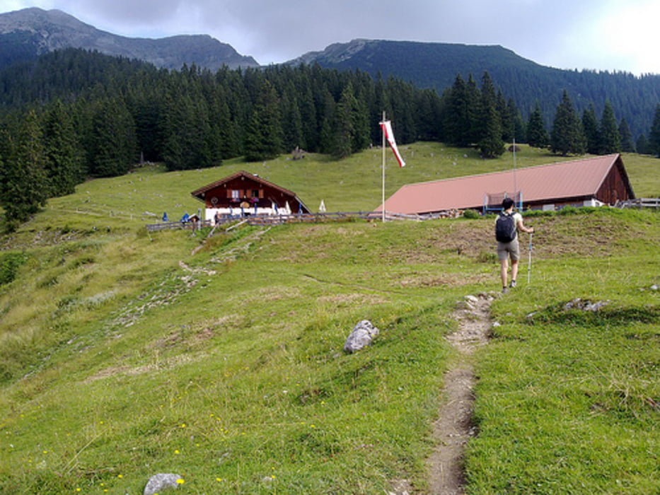
Itineraio semplice senza particolari difficolta'.
Galeria trasy
Mapa trasy i profil wysokości
Minimum height 997 m
Maximum height 1905 m
Komentarze

Dall' Italia si percorre la A22 fino al Brennerom e si prosegue fino quasi ad Insbruck. Prendere la A12 per circa 35 Km ed uscire all'uscita 113 direzione Herwald. Seguire le indicazioni.
Il sentiero inizia nei pressi del passaggio sulla ferrovia
Lat 47°24'16.87"N
Long 10°53'22.26"E
GPS tracks
Trackpoints-
GPX / Garmin Map Source (gpx) download
-
TCX / Garmin Training Center® (tcx) download
-
CRS / Garmin Training Center® (crs) download
-
Google Earth (kml) download
-
G7ToWin (g7t) download
-
TTQV (trk) download
-
Overlay (ovl) download
-
Fugawi (txt) download
-
Kompass (DAV) Track (tk) download
-
Karta trasy (pdf) download
-
Original file of the author (gpx) download
Add to my favorites
Remove from my favorites
Edit tags
Open track
My score
Rate


