


09.08.2009 | Rundweg - Frankenbach
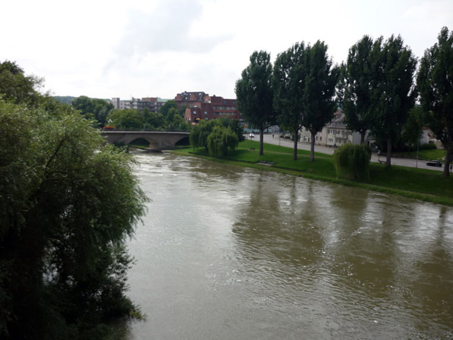
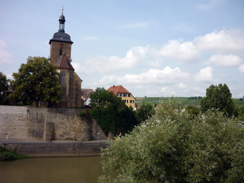
… Lauffen ...
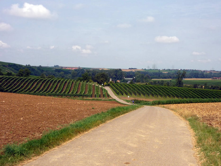
Heute am Sonntag, ging es zu zweit bei schönem Wetter,
in einem Rundkurs in Richtung Lauffen, Nordheim, Leingarten ....
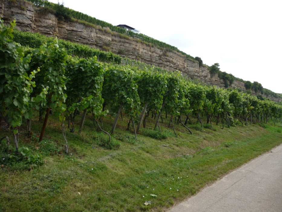
Die Strecke verläuft durchweg auf befestigten Wegen.
- Neckartal-Radweg
- Waldweg (Rutschgefahr)
- Hauptstraße
Lauffen am Neckar - http://www.lauffen.de
* 20.03.1770 - Johann Christian Friedrich Hölderlin - Lyriker / Dichter
Viel Spaß beim radeln
PS:
... die Dauer (hh:mm) zeigt die reine Fahrzeit an, laut GPS & Bike-Tacho.
... die technischen Daten stammen aus der Track-Datei (gpx).
Further information at
http://www.awrhome.deGaleria trasy
Mapa trasy i profil wysokości
Minimum height 149 m
Maximum height 247 m
More about the tour author
|
|
AWRHN75 |
Komentarze

Parkmöglichkeiten sind an folgenden Punkten ausreichend
vorhanden und von dort kann dann die Tour auch begonnen werden.
N49 09.826 E9 10.600 – Lidl Parkplatz
N49 09.812 E9 10.782 – Sportivo Parkplatz
vorhanden und von dort kann dann die Tour auch begonnen werden.
N49 09.826 E9 10.600 – Lidl Parkplatz
N49 09.812 E9 10.782 – Sportivo Parkplatz
GPS tracks
Trackpoints-
GPX / Garmin Map Source (gpx) download
-
TCX / Garmin Training Center® (tcx) download
-
CRS / Garmin Training Center® (crs) download
-
Google Earth (kml) download
-
G7ToWin (g7t) download
-
TTQV (trk) download
-
Overlay (ovl) download
-
Fugawi (txt) download
-
Kompass (DAV) Track (tk) download
-
Karta trasy (pdf) download
-
Original file of the author (gpx) download
More about the tour author
|
|
AWRHN75 |
Add to my favorites
Remove from my favorites
Edit tags
Open track
My score
Rate