


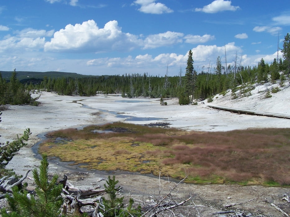
Dieser kleine Rundweg verläuft durch den südlichen Teil des Norris Basins im zentralen Bereich des Yellowston Nationalparks.
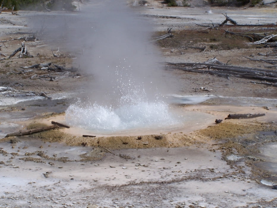
Vom üblichen Parkplatz verläuft der sehr gut ausgebaute Weg zum Visitor Center. Wir haben uns nach links zum Steamboat Geysir gwewendet. Hier steht oft ein Ranger der sehr gern auf Fragen antwortet. Weiter den Berg hinunter zum Geysierbecken. Immer wieder schöne heiße Quellen, weniger spektakulär als am Old Faithful, aber nicht so überlaufen.
Für Kinder wird der Junior Ranger angeboten. Empfehlenswert, weil das wie ein Geländespiel mit Arbeitsbogen entwickelt. Die Eltern lernen auch etwas dazu.
Further information at
http://en.wikipedia.org/wiki/Steamboat_GeyserGaleria trasy

Mapa trasy i profil wysokości
Minimum height 2291 m
Maximum height 2325 m
More about the tour author
|
|
Pheinz |
Komentarze

Mit dem Auto zur Kreuzung an der Norris Canyon Road und der Grand Loop Road. Von dort auf den Parkplatz.
Viel Spass.
GPS tracks
Trackpoints-
GPX / Garmin Map Source (gpx) download
-
TCX / Garmin Training Center® (tcx) download
-
CRS / Garmin Training Center® (crs) download
-
Google Earth (kml) download
-
G7ToWin (g7t) download
-
TTQV (trk) download
-
Overlay (ovl) download
-
Fugawi (txt) download
-
Kompass (DAV) Track (tk) download
-
Karta trasy (pdf) download
-
Original file of the author (gpx) download
More about the tour author
|
|
Pheinz |
Add to my favorites
Remove from my favorites
Edit tags
Open track
My score
Rate