Login

Zapomniałeś swój login?

Cookies have to be accepted!
Your browser's cookie functionality is disabled. Please enable this functionality.

Not a member yet?

Register now
Login

Available for registred users only

Log in to use this feature.

Zapomniałeś swój login?

Cookies have to be accepted!
Your browser's cookie functionality is disabled. Please enable this functionality.

Not a member yet?

Register now
Filter
Kategorie
Advanced filters
  • Długość (km)
  • Wysokość
Zapisz filtr Reset filter

TrackRank

QRCode

Technical data

Długość667,0 km Wysokość1729 m Way down1925 m Czas trwania00:00 h:m Data19.08.2009
Oceny Author Krajobraz Czynnik zadowolenia Kondycja Technika

Statystyka

1406 Widoki Oceny 341 Downloads / Pliki do pobrania Przeciętnie
Rate
  • Karta trasy
  • Dojazd
  • Downloads / Pliki do pobrania
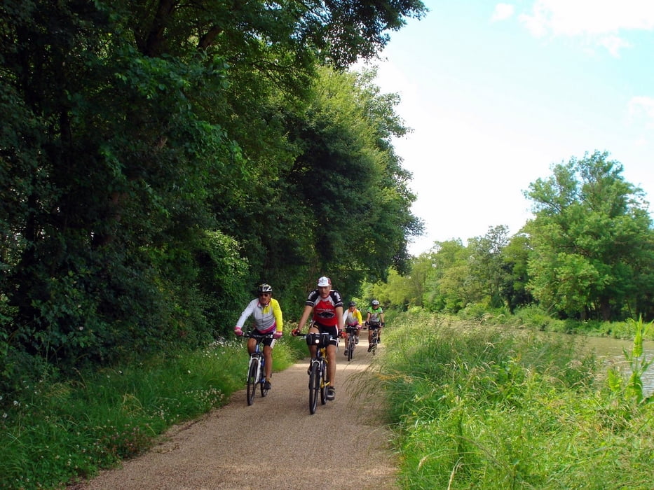
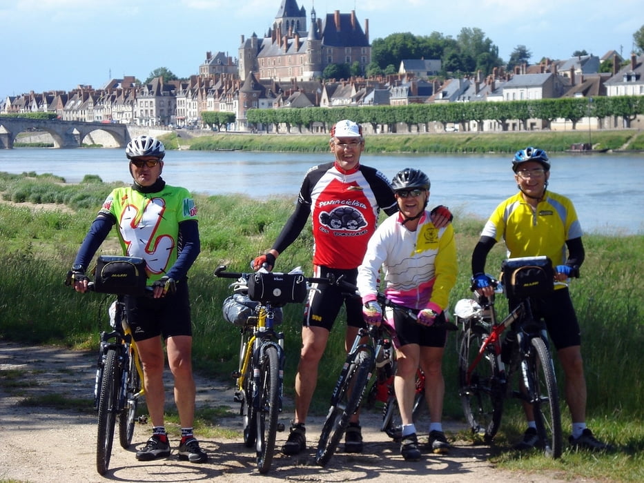
Ruta en bicicleta siguiendo el trazado de la ruta europea EUROVELO 6 por la ribera del río Loira desde su desmbocadura en Saint Nazaire hasta Nevers

Galeria trasy

Mapa trasy i profil wysokości

  • Open Street Map
  • Google
Minimum height -52 m Maximum height 299 m Widok szczegółowy

More about the tour author

jorgetor
Member since 2009

Send private message

Komentarze

GPS tracks

Trackpoints
  • GPX / Garmin Map Source (gpx) download
  • TCX / Garmin Training Center® (tcx) download
  • CRS / Garmin Training Center® (crs) download
  • Google Earth (kml) download
  • G7ToWin (g7t) download
  • TTQV (trk) download
  • Overlay (ovl) download
  • Fugawi (txt) download
  • Kompass (DAV) Track (tk) download
  • Karta trasy (pdf) download
  • Original file of the author (gpx) download

More about the tour author

jorgetor
Member since 2009

Send private message
Share track
Add to my favorites
Remove from my favorites
Edit tags
My score
Rate
Trasa: El Loira en bicicleta (Lo Loire à veló)
Rodzaj: Trasy rowerowe
Długość: 667,0 km
Evaluated on:
Czas trwania:
Day(s)
Hour(s)
Minute(s)
Ocena: Krajobraz Czynnik zadowolenia Kondycja Technika